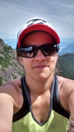
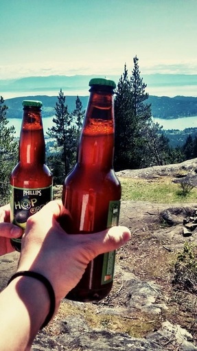
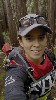
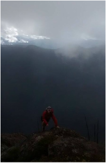
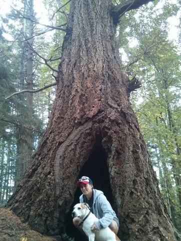
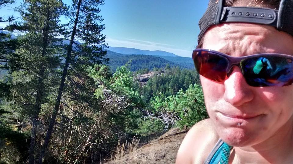
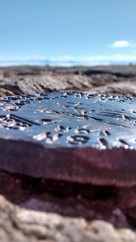
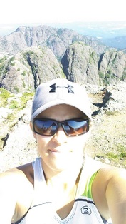
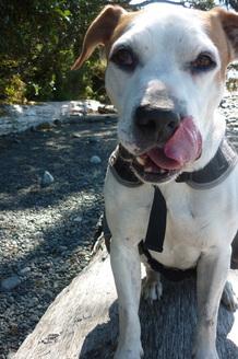
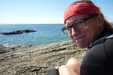
Proof that Darryl is one tough SOB….
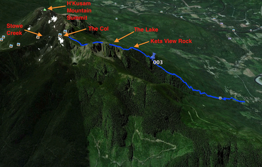
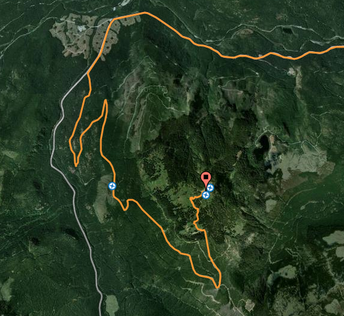
Darryl has told me many of times about her adventure completing the Kusam Klimb, which is a 23km race held every June (snow permitting) in Sayward. The race starts down in the Sayward Valley and heads up Bill's Trail over the col in between Stowe Peak and H'Kusam summit before descending down into the Stowe Creek valley. The trail itself gains just over 1400m of elevation in 5.5kms at the start before a more gradual decline down the other side. I think this race easily takes the cake for the most challenging race on Vancouver Island.
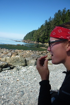
Just for a bit of background on Darryls story, which is much more impressive to me now that I have done this hike, I will tell you about her race day. She signed up for the Klimb back in 2009 with some friends from her kickboxing group and had no idea what she was getting into. As she would tell you, ignorance is bliss. She had not done any formal training (wasn't much into distance running back then) and came equipped for the race with a sprite bottle filled with water and the clothes on her back. Most people come to this race with a pack filled with litres of water, snacks, gels, gloves, a jacket…. etc. As it turns out her friends did not show up until after the race had started so Darryl took off racing on her own. She ended up losing her measly water bottle, which took a tumble far down the mountain out of reach and ran on with only the clothes on her back. Eventually she made it up and over the col cursing life and sliding over snow. She headed down the other side losing sight of other racers and became quite convinced that she was lost. In the end she finished the race in just under 4 hours close to the head of the pack, which is phenomenal… The race organizers tell you to plan on taking up to 8 or 9 hours, which is about how long her late pals also doing the race took.
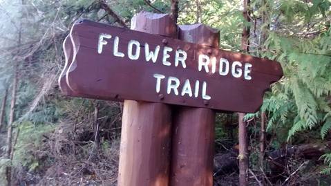
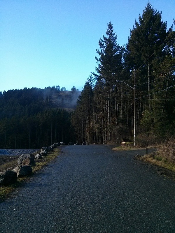
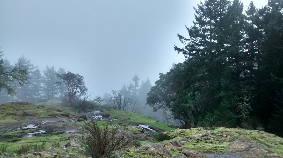
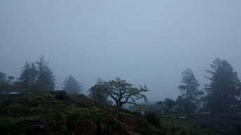
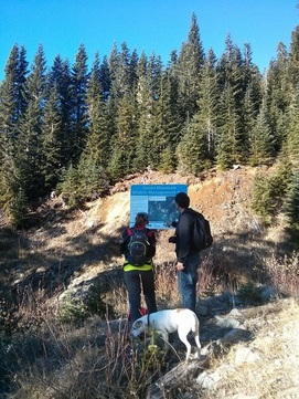
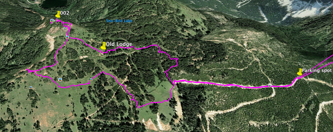
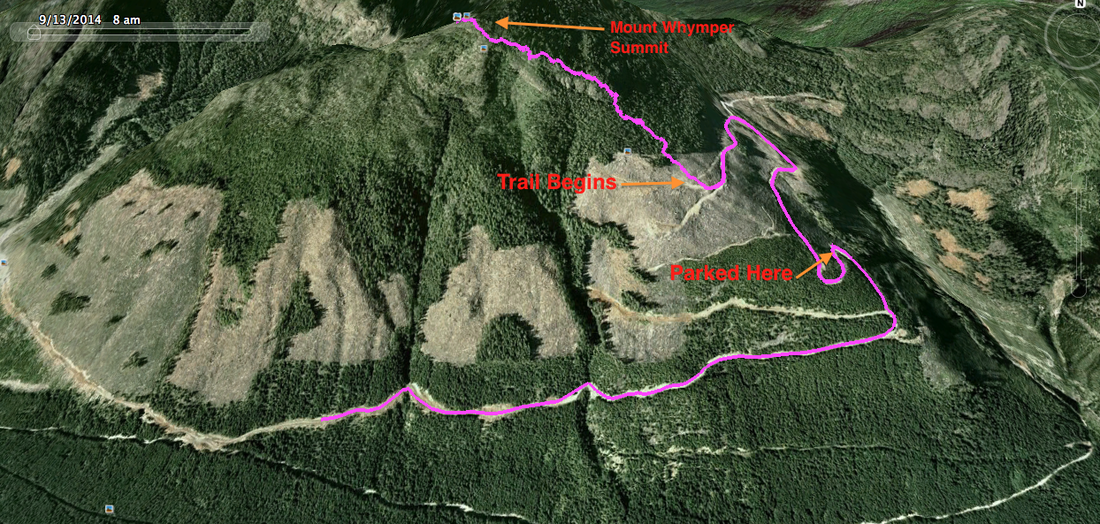
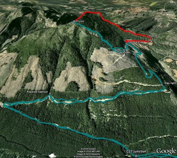
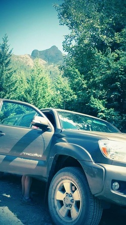
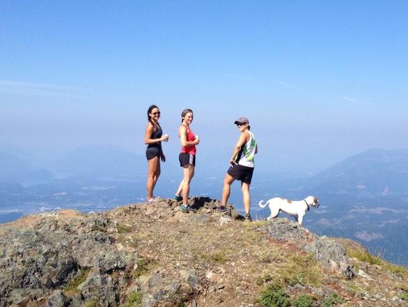
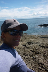
This past weekend I was interested in just climbing straight up and summating H'Kusam Mountain at 1660m via Bill's Trail and camping overnight in Sayward. We left Campbell River after eating a yummy breakfast at the Ideal Cafe on a sunny Sunday morning and arrived at the slightly fogged in trailhead at 0930. To get to the trailhead of Bill's Trail we headed north from Campbell River toward Sayward, turned right on Sayward Rd at the gas station, right on Sabre Rd, and took the gravel fork to the left. There is a small parking area, trailhead sign, and outhouse here. We ran into a couple training for the race coming up on June 20th at the trailhead. They let us start ahead of them after Darryl told them her finishing time from the race previously.
Just for a bit of background on Darryls story, which is much more impressive to me now that I have done this hike, I will tell you about her race day. She signed up for the Klimb back in 2009 with some friends from her kickboxing group and had no idea what she was getting into. As she would tell you, ignorance is bliss. She had not done any formal training (wasn't much into distance running back then) and came equipped for the race with a sprite bottle filled with water and the clothes on her back. Most people come to this race with a pack filled with litres of water, snacks, gels, gloves, a jacket…. etc. As it turns out her friends did not show up until after the race had started so Darryl took off racing on her own. She ended up losing her measly water bottle, which took a tumble far down the mountain out of reach and ran on with only the clothes on her back. Eventually she made it up and over the col cursing life and sliding over snow. She headed down the other side losing sight of other racers and became quite convinced that she was lost. In the end she finished the race in just under 4 hours close to the head of the pack, which is phenomenal… The race organizers tell you to plan on taking up to 8 or 9 hours, which is about how long her late pals also doing the race took.
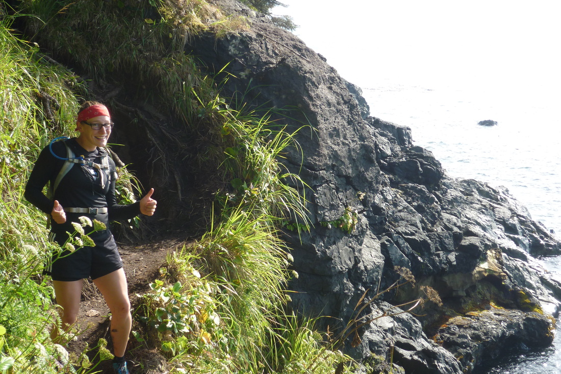
This past weekend I was interested in just climbing straight up and summating H'Kusam Mountain at 1660m via Bill's Trail and camping overnight in Sayward. We left Campbell River after eating a yummy breakfast at the Ideal Cafe on a sunny Sunday morning and arrived at the slightly fogged in trailhead at 0930. To get to the trailhead of Bill's Trail we headed north from Campbell River toward Sayward, turned right on Sayward Rd at the gas station, right on Sabre Rd, and took the gravel fork to the left. There is a small parking area, trailhead sign, and outhouse here. We ran into a couple training for the race coming up on June 20th at the trailhead. They let us start ahead of them after Darryl told them her finishing time from the race previously.
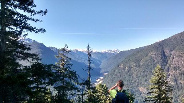
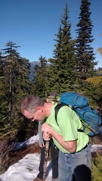
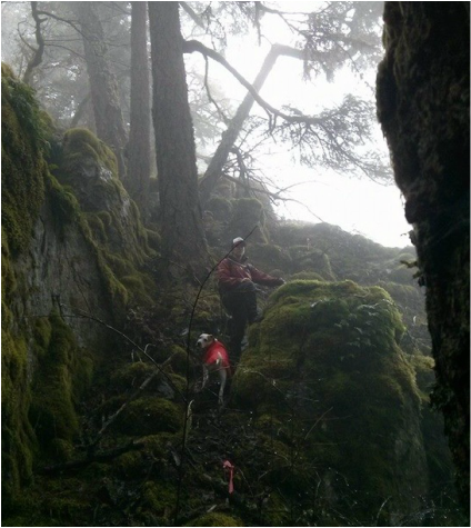
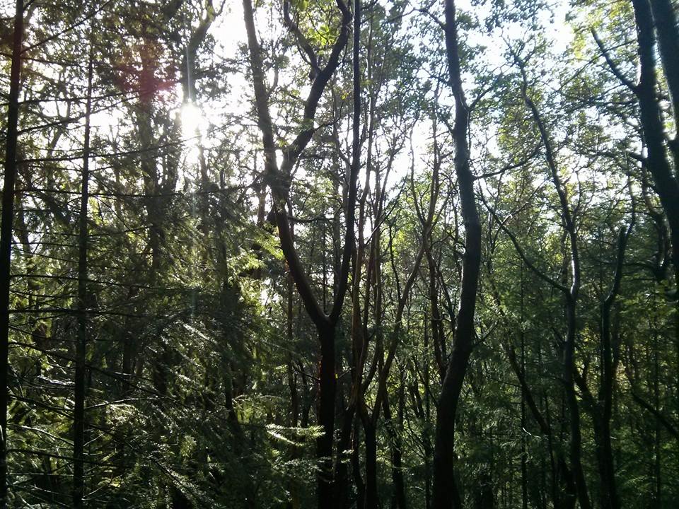
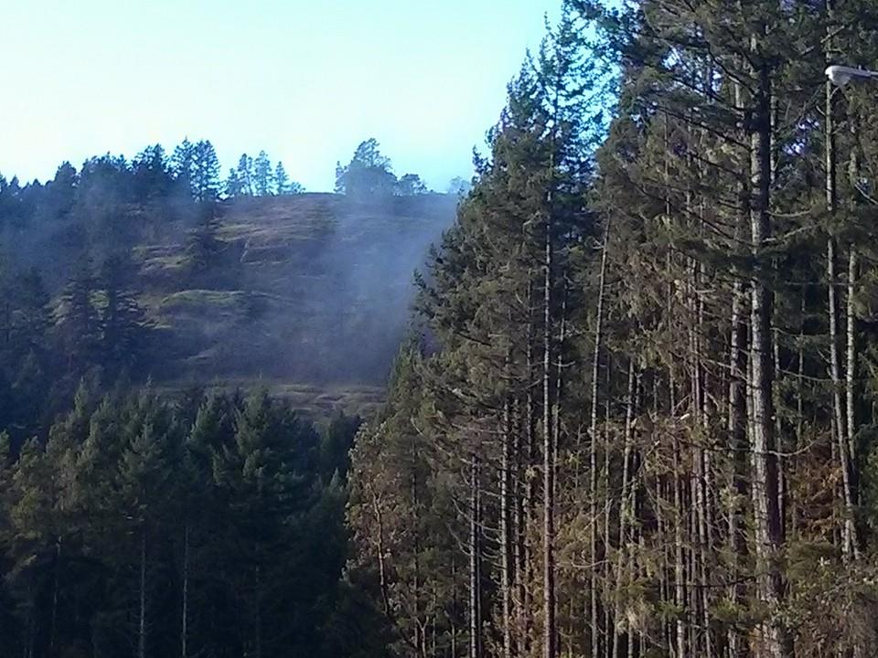
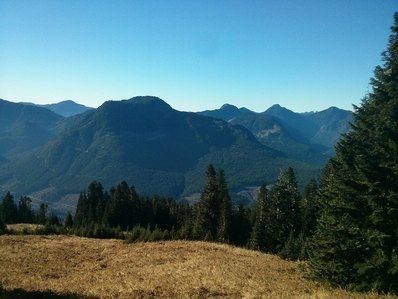
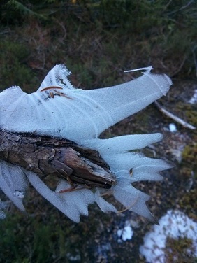
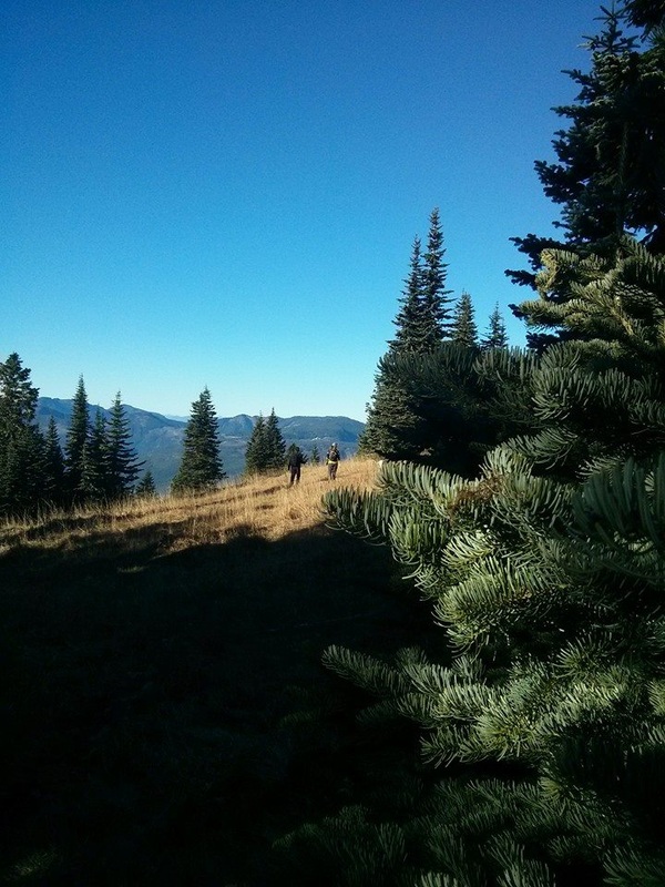
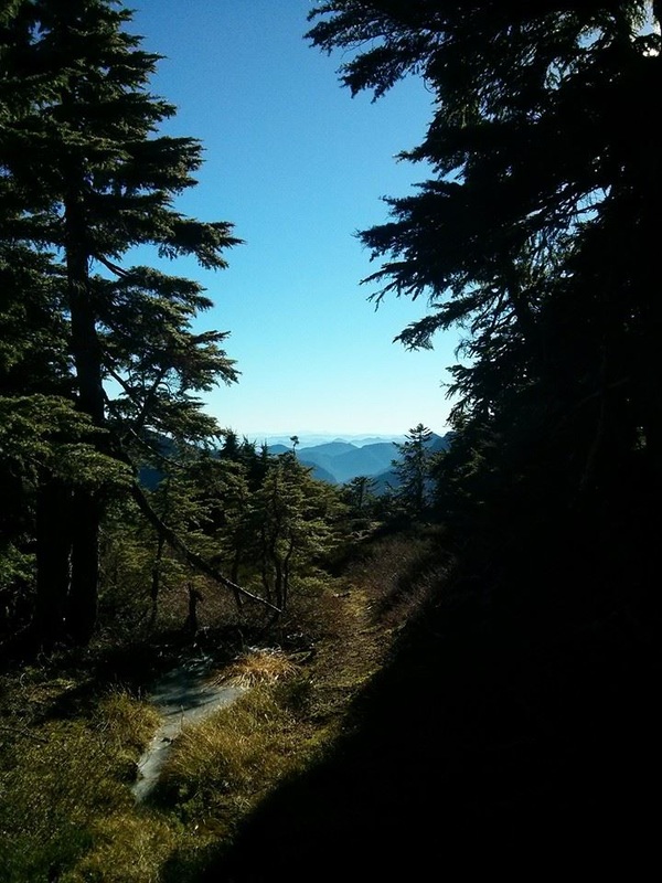
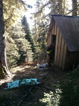
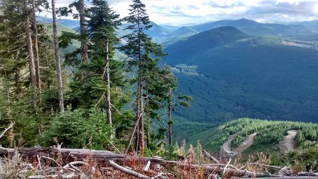
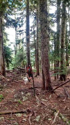
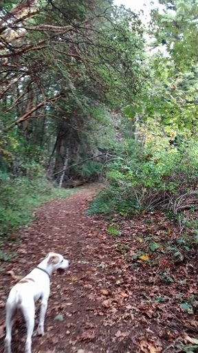
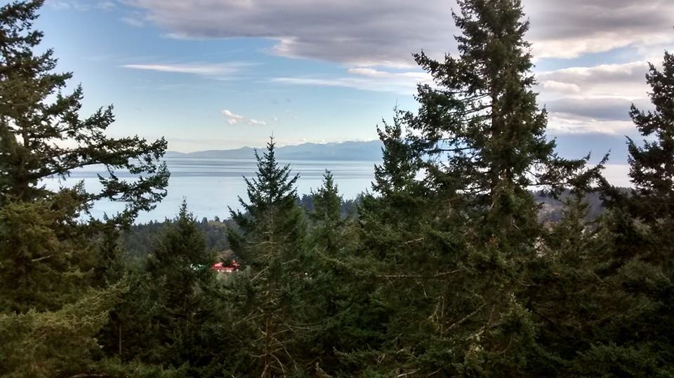
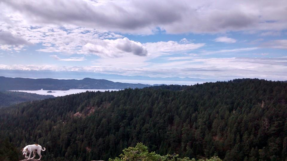
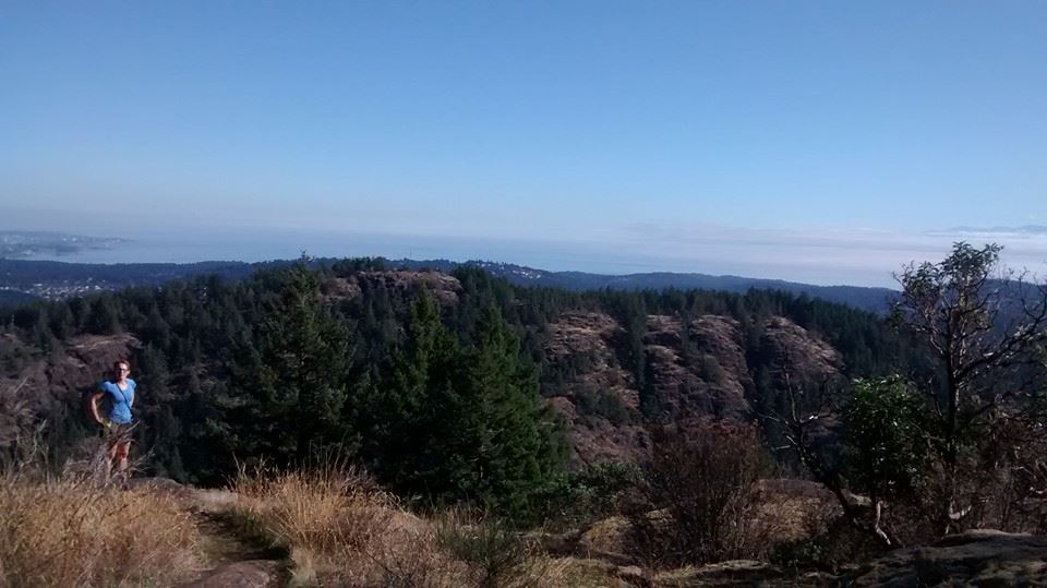
| Bill's Trail starts off heading steadily up on a very well maintained wide trail. I imagine they use quads up this section to get supplies up to the first check point during the race. I scoffed at Darryl for how seemingly easy the trail appeared at first. We crossed a logging road a few minutes in and passes a cool little spot with another outhouse and fresh water spout. I was quickly realizing that my choice of rigid mountaineering boot without a weighted pack was a very bad call and developed raw, sore heels quite quickly. We reached check point one at 1007 and the fog was steadily burning off. There were a couple of manmade shelters, an outhouse, some benches, and also what appeared to be a rain catch here. After this point the trail became more narrow and rugged, but was still very well flagged and signed. We were greeted with some great views of the Sayward Valley and Johnstone Strait peeking through the trees. As time passed my feet began to really complain. I was frustrated because I was not able to take more then a few steps in a row before having to stop and give them a break. I knew that I was slowing our pace and Darryl could see that I was having a heck of a time by the way I was side stepping up the mountain. Next time I will be wearing my trail runners… | 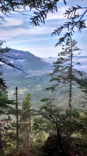 |
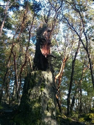
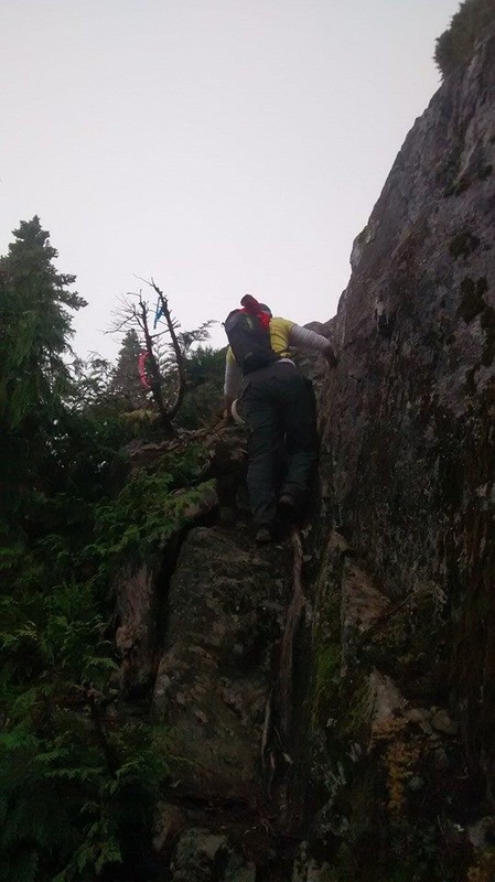
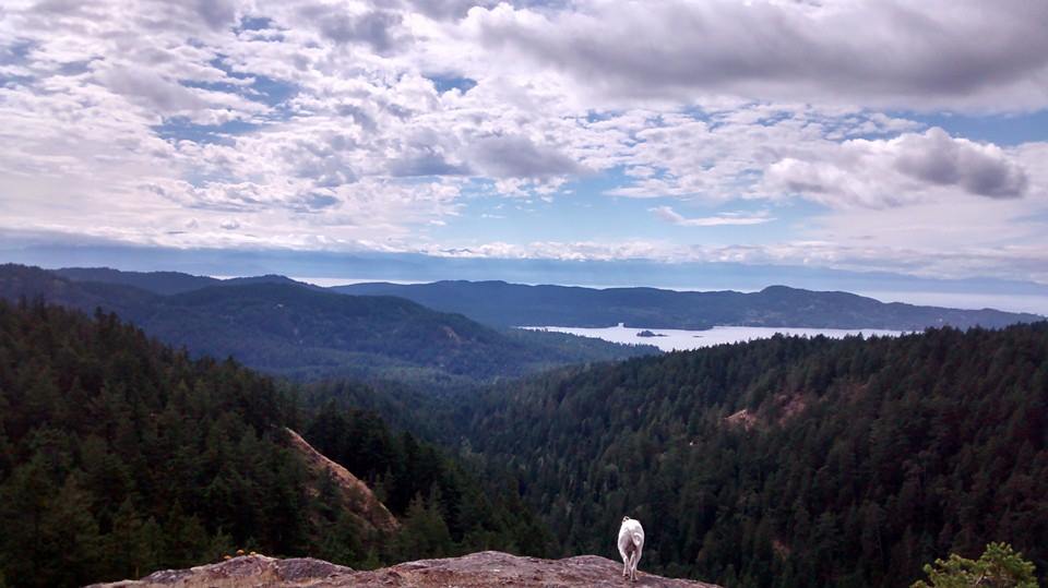
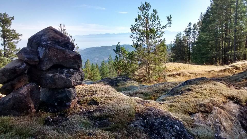
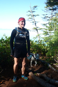
We continued on our way enduring the relentless climb passed the Grouse Bluff Lookout, pulling ourselves up with the many useful ropes set in place. Eventually we passed Keta View Rock where there is a manmade shelter and another great lookout over the Sayward Valley and distant peaks. Not long after this point we passed a sign for Springer Peak on the left and Darryl informed me that we were approaching a lake, which made me happy because the trail was bone dry and the dog had not had a drink since the spout close to the start.
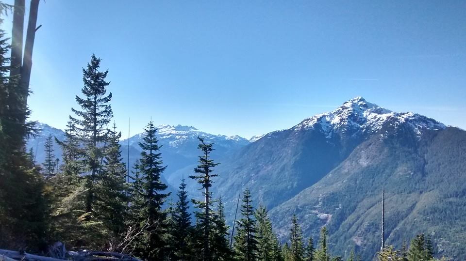
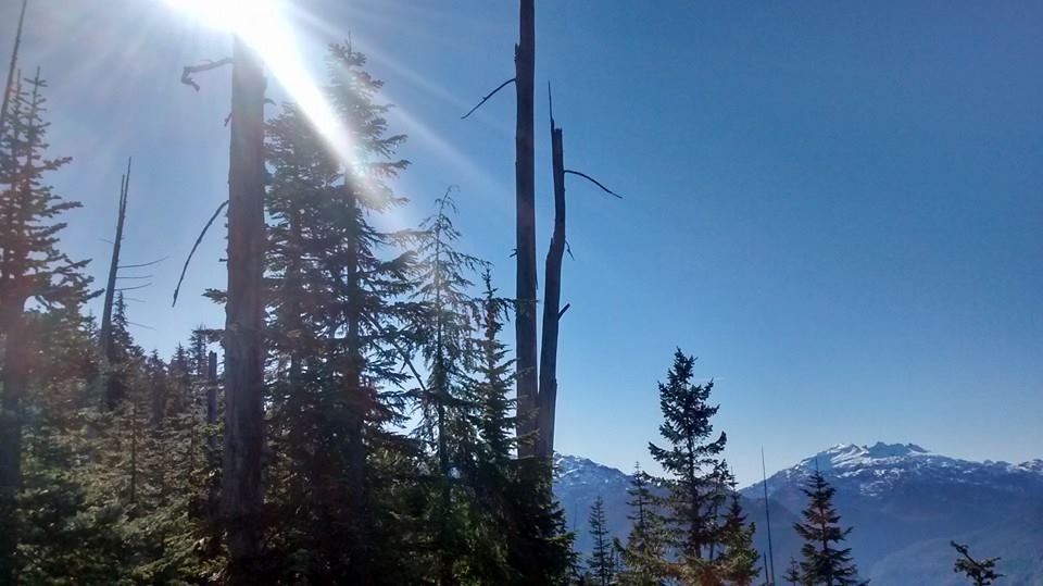
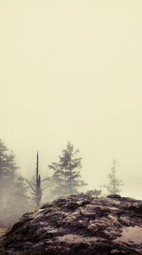
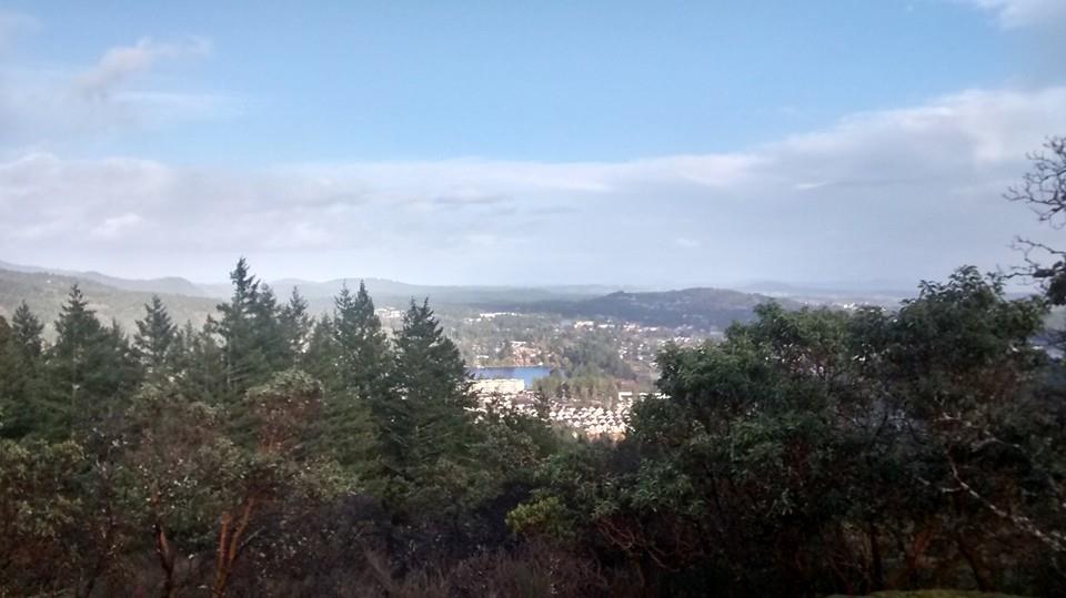
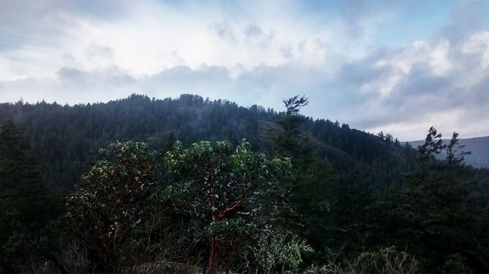
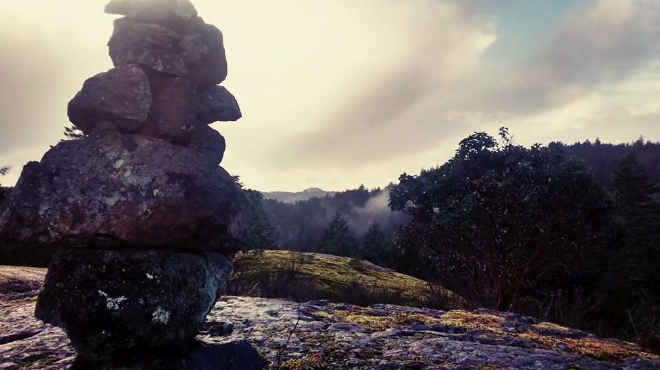
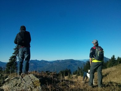
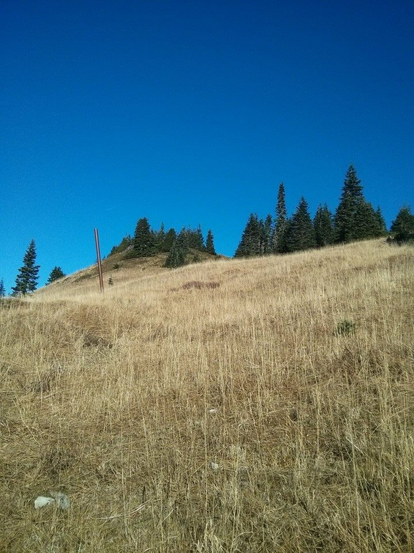
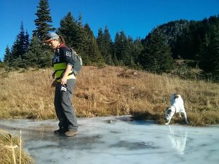
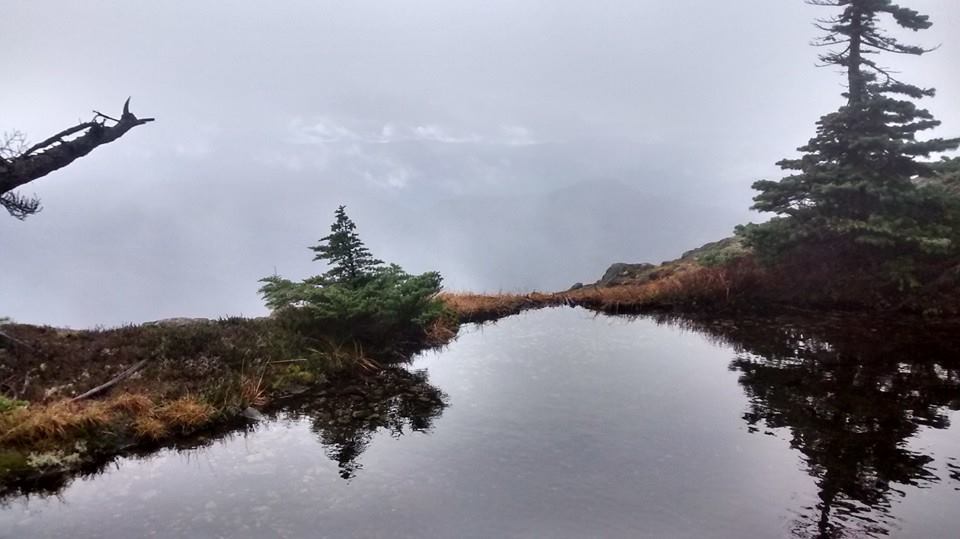
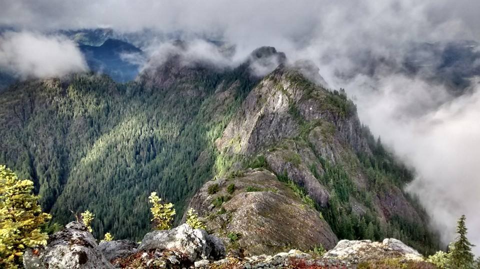
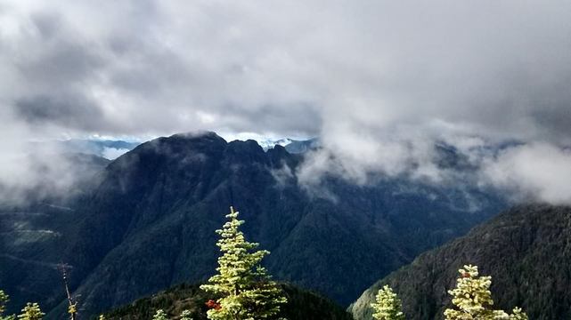
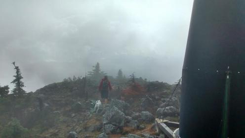
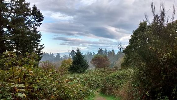
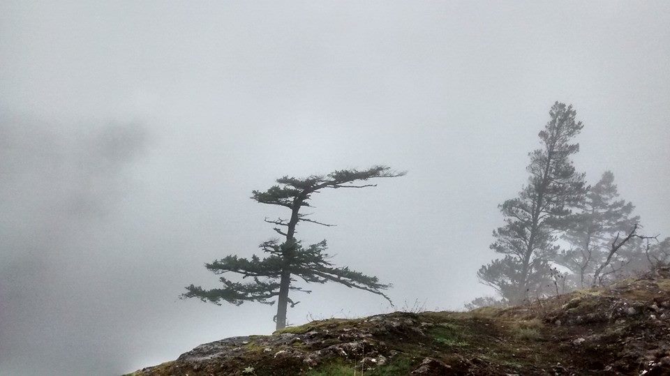
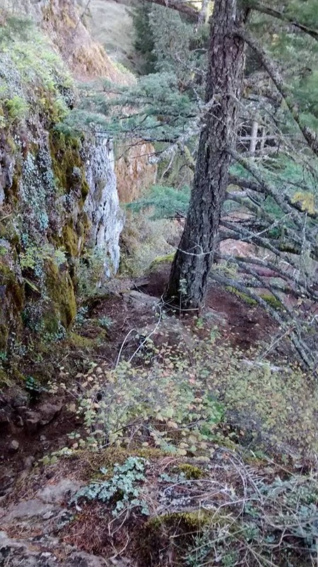
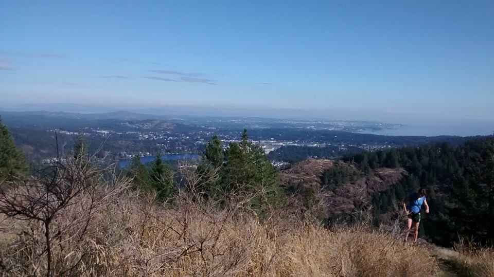
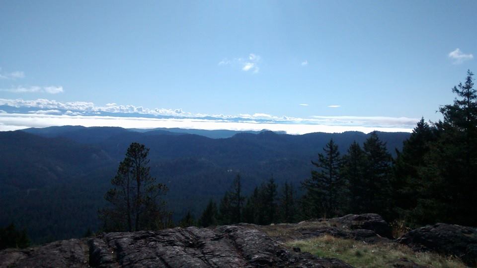
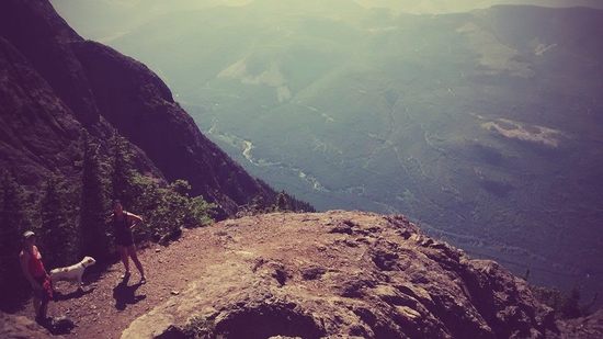
 At 1235 we headed down a steep decline to the lake. I was getting a bit frustrated because I was hoping to be on the summit by this point, but the lake was beautiful and I was thankful to have made it this far. The dog had a good drink and we skirted around the left side of the water. We spotted a number of what I first thought were fish, but were actually newts. Tons of them! 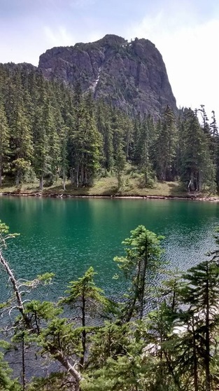 Eventually we came to the col in between H'Kusam Mountain and Stowe Peak and saw the trail unfold beneath us into the Stowe Creek valley. Here there was an obvious trail branch to the right and we followed it blindly assuming were were headed for the summit. The trail lead us to a dead end high up on a lookout and I was totally confused as to where we were supposed to go. After looking around I saw that we should have kept following down Bill's Trail further to the Stowe Creek trail. I could see a split to the right that headed straight up to the gully before the summit of H'Kusam Mountain. It was disappointing to see that you had to lose elevation again before making a push to the top. By this point we had hit our turn around time of 1320 and were quite satisfied with our view spot so we did not continue on further to the summit. We took in the beautiful weather and surrounding scenery while snapping some pictures before turning around and heading down the mountain. | 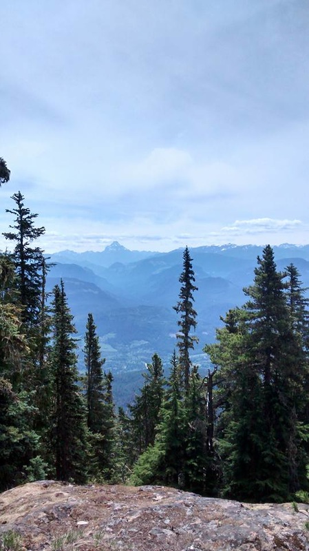 Victoria Peak The trail passed the lake was magnificent and flowed up and through a beautiful alpine meadow. It was slightly less steep then the rest of the trail we had travelled thus far, and I felt as though we were on the last push to the top. We kept our eyes peeled for a branch to the right in the trail that would take us up to the summit of H'Kusam Mountain. 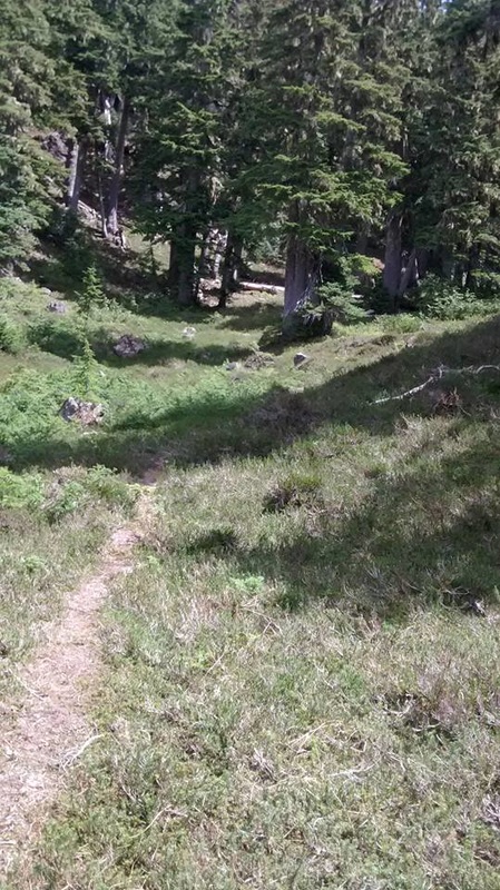 |
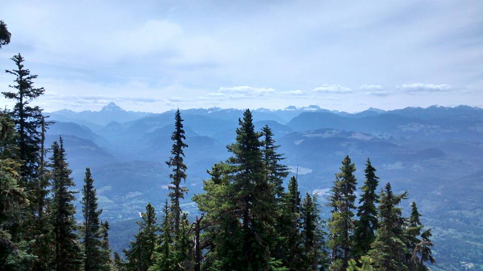
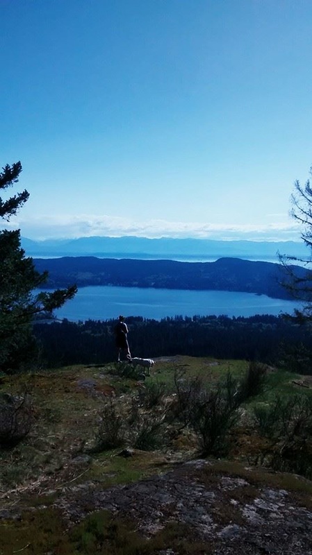
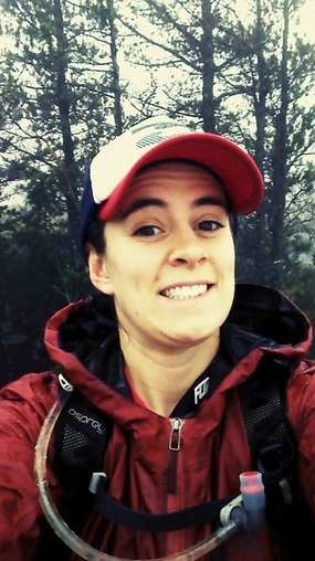
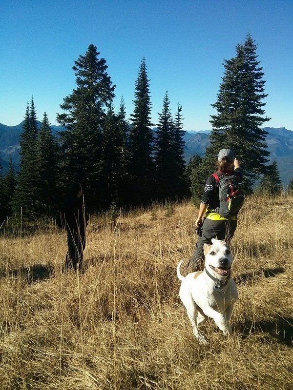
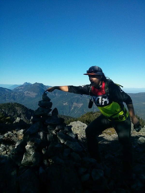
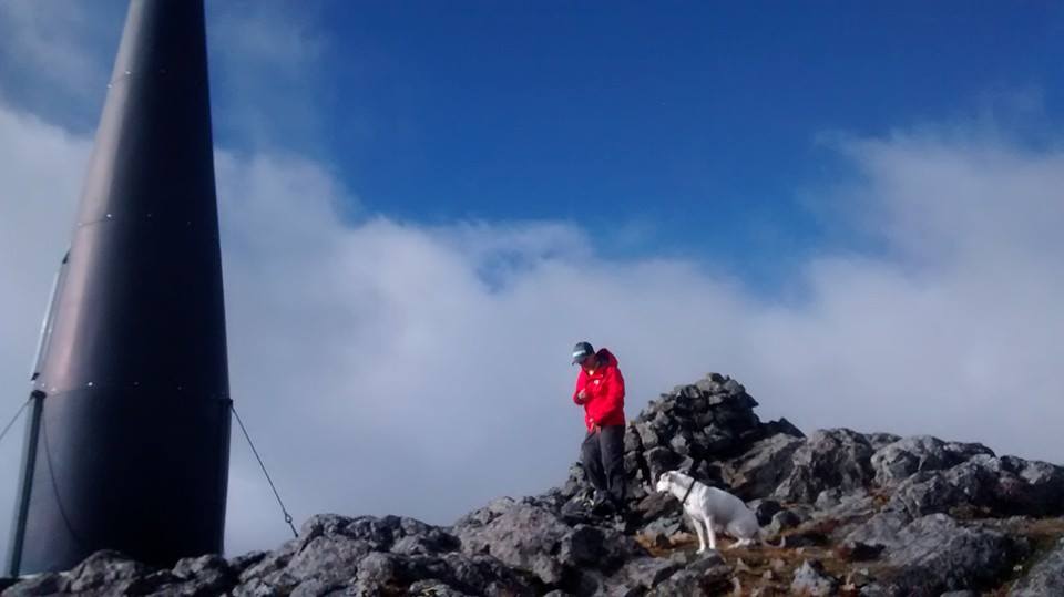
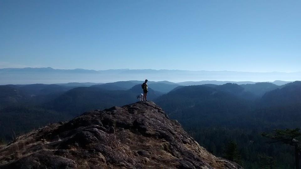
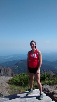
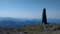
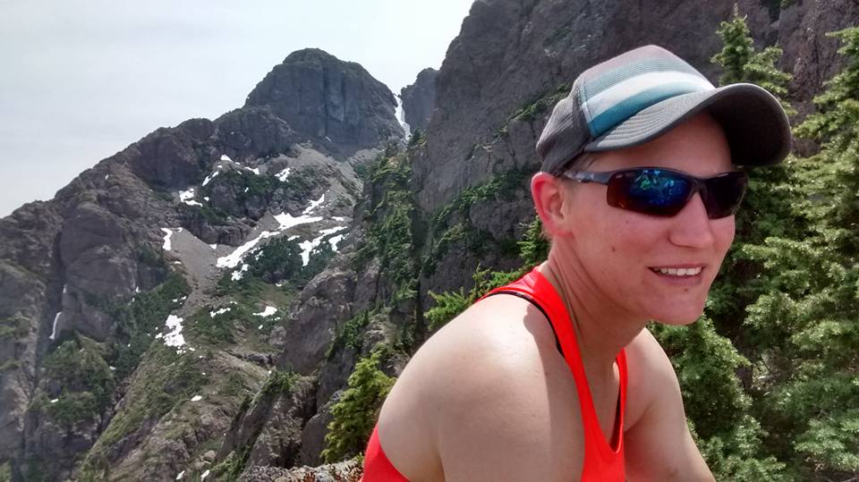 Darryl with H'Kusam Summit behind her. 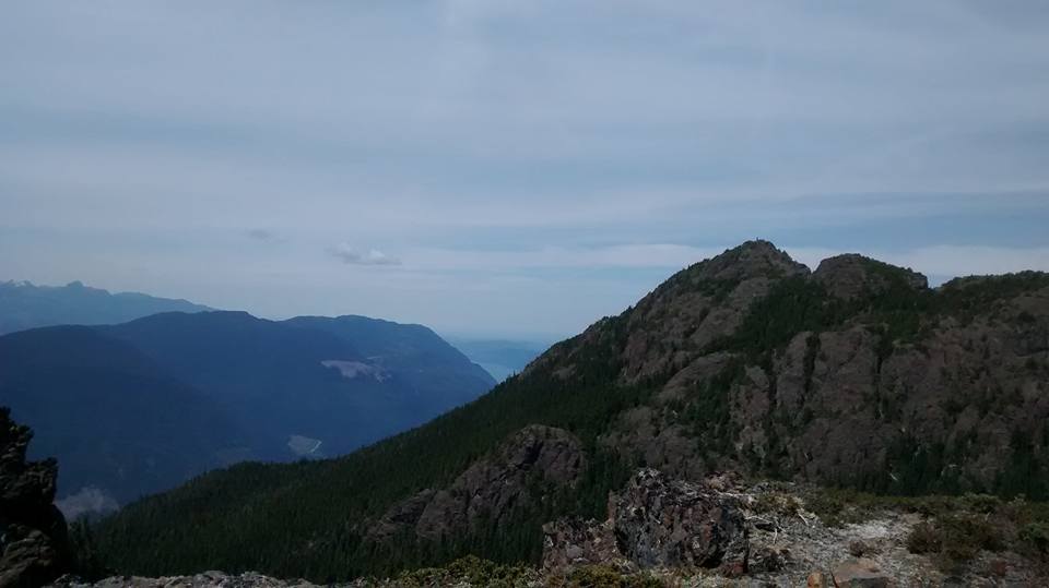 Springer Peak |  Johnstone Strait 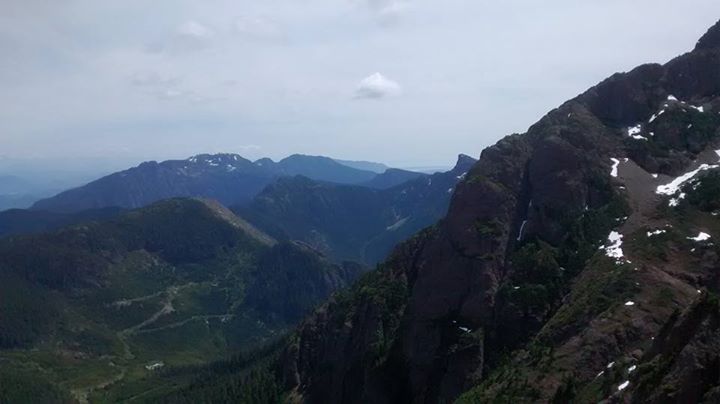 Stowe Creek below, Big Tree Peak and Mount Roberts ahead, High Rigger barely visible on the right. |

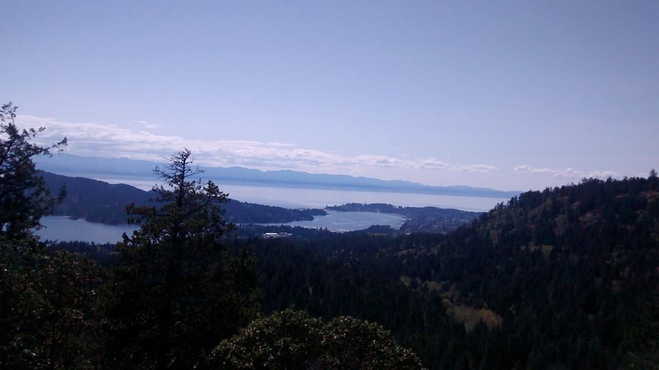
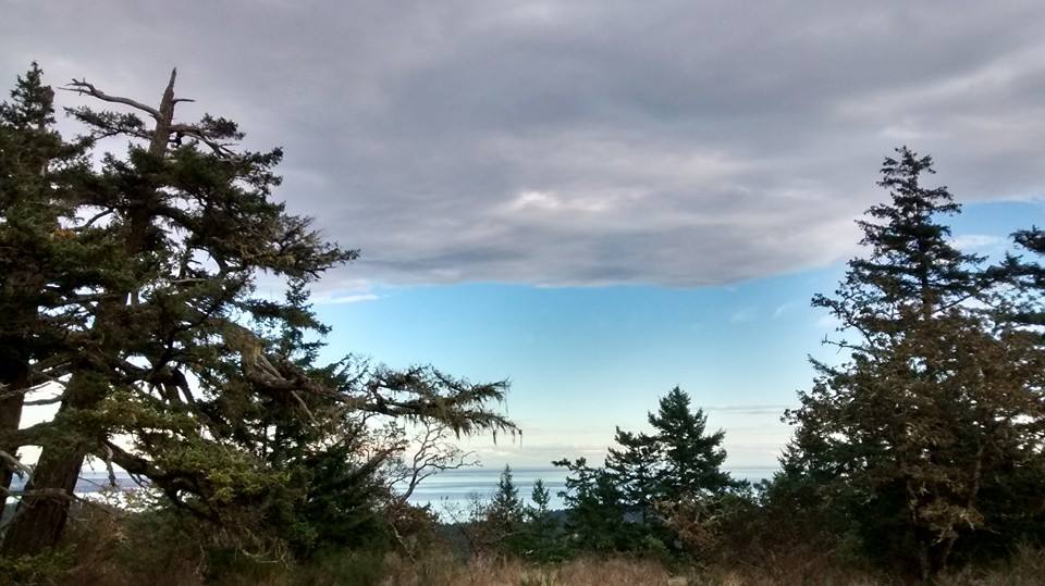
Looking west
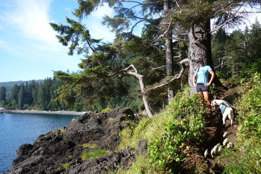
Because there was less pressure on my feet we flew down the mountain. The afternoon heat beat down on us as we hustled and we arrived back at the truck at 1545 ready for a serious swim in the river. We found a good spot on the Salmon River close to the bridge coming into town and took a good dip with the dog.
I would love to go back to this area and head up the Stowe Creek way. Much less steep and less elevation gain and loss. If anyone has any information about the summit please feel free to comment. I visualized the gully that I have seen a number of people use to get to the summit. Is there an easier way up that doesn't include a scramble through there?
I would love to go back to this area and head up the Stowe Creek way. Much less steep and less elevation gain and loss. If anyone has any information about the summit please feel free to comment. I visualized the gully that I have seen a number of people use to get to the summit. Is there an easier way up that doesn't include a scramble through there?
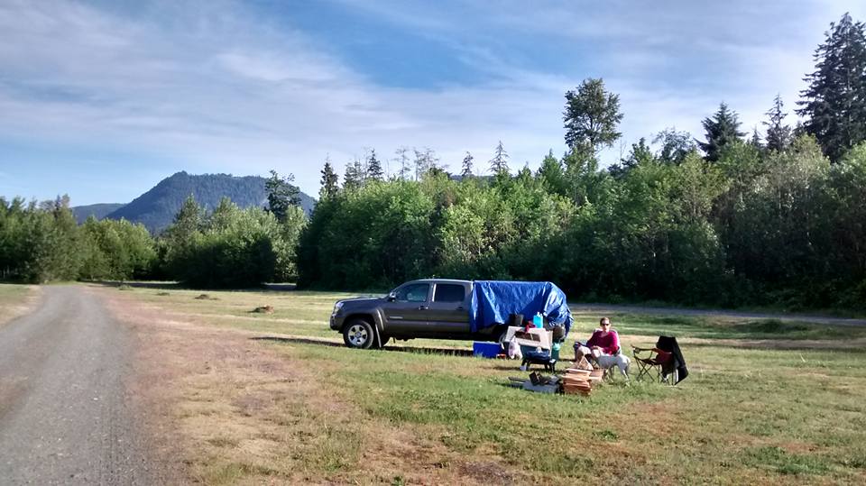
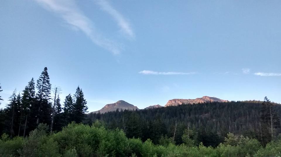 View of our days work from our camp spot |  |


 RSS Feed
