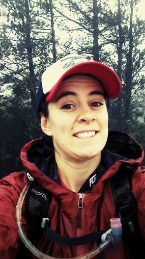
While chatting recently with a coworker from pharmacy we discovered our shared passion for exploring and running. He mentioned to me that he had been planning an epic trail run route joining up multiple parks in Saanich and the Highlands, but had yet to find anyone to do it with. Almost immediately we set a date and solidified the route using our combined knowledge of the area. Last Sunday Darryl, my coworker, Mr Sparks, and I completed this run. Darryl and I packed 2 gels, 2 cliff bars, and 2L of water each for the day.
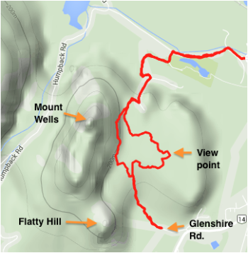
We planned to start and end the run in the same spot so that there would be no vehicle shuttling. We picked the Mount Work parking area on Munn Rd and started at 1030. This is a pretty great spot since trails emerge directly from this parking spot in both directions and there is even a toilet.
We planned to start and end the run in the same spot so that there would be no vehicle shuttling. We picked the Mount Work parking area on Munn Rd and started at 1030. This is a pretty great spot since trails emerge directly from this parking spot in both directions and there is even a toilet.
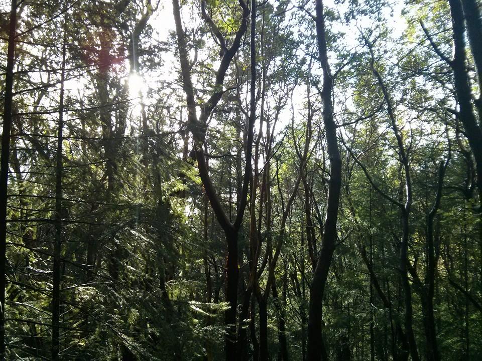
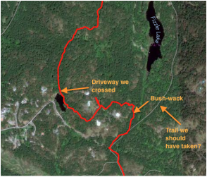 Route from our parking spot to Davies Rd. 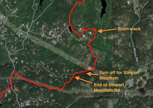 Zoomed out version | The weather was cloudy, but dry and mild temperatures, making for great running conditions. To start the run we ran across the road from the parking spot and headed into a small, poorly marked trail into Thetis Lake Regional Park. There were a few tiny green markers up in the trees that stated "trail," however, if you were not looking directly up the markers are easily missed. The trail also seemed quite out of place because it ran directly between two properties and felt like someone's long gravel driveway. Eventually, once we passed most of the properties it was obvious we were on a trail. We kept right, which was a bit of a mistake and ended up crossing a long paved driveway we thought was Davies Rd. At this point we should have taken a right to join up with Davies Rd and go to the end to hit actual trails, but instead we crossed directly over the driveway and followed what seemed to be old quad trails in private property... Eventually we just ended up bush wacking because I could see a wide trail ahead on my GPS and finally ended up back on track. During our bush-wacking experience I tumbled down a small bluff and got slapped in the face by a few branches... No need to fret, the only thing injured was my ego. In hind sight we probably should have started by taking the trail to the east of Fizzle Lake, which was wide, more direct, and easy to find. |
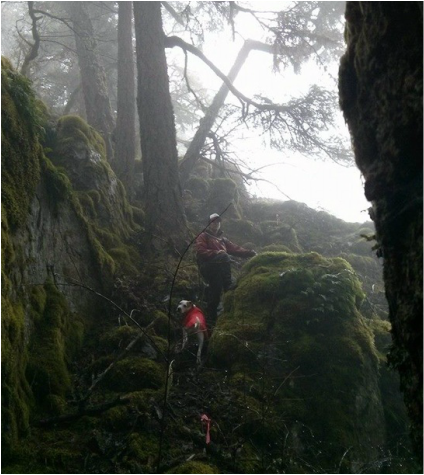
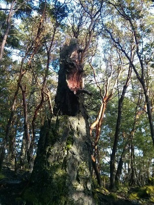
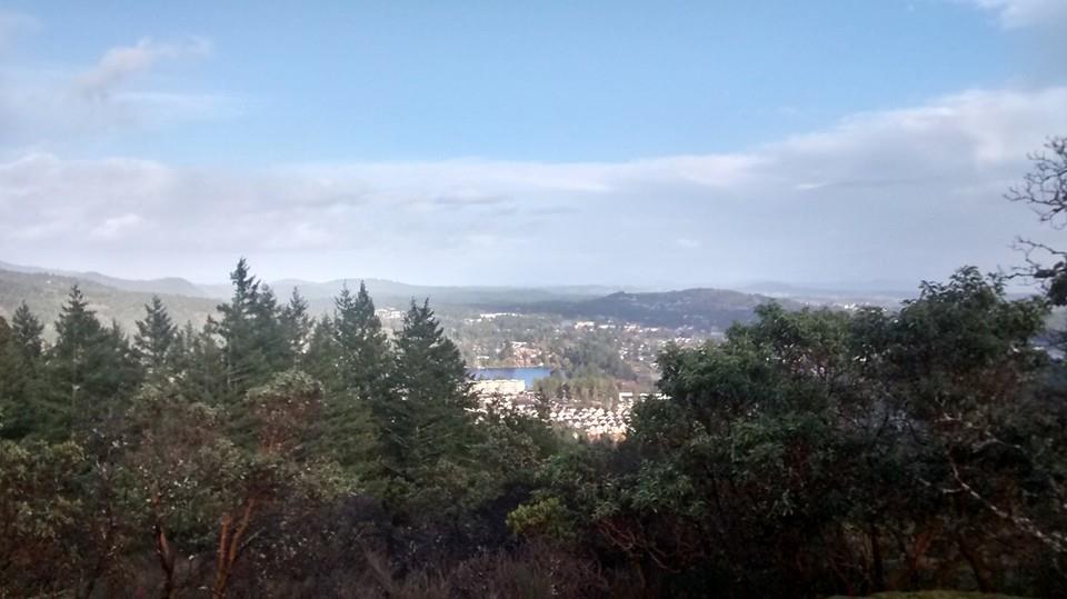
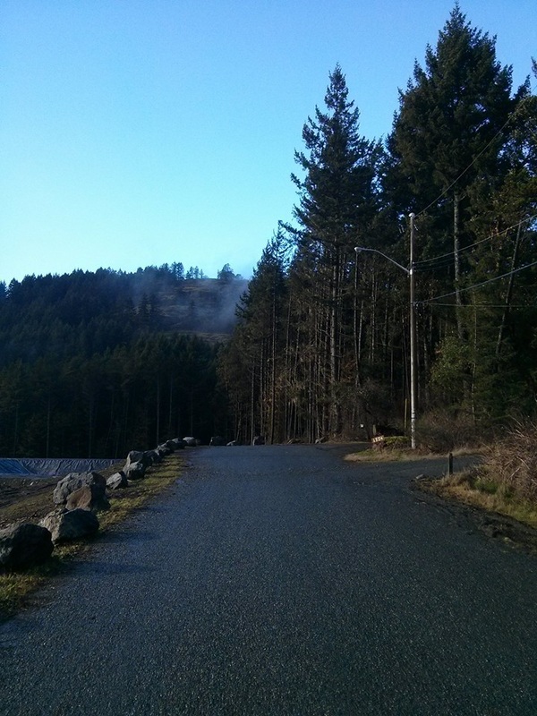
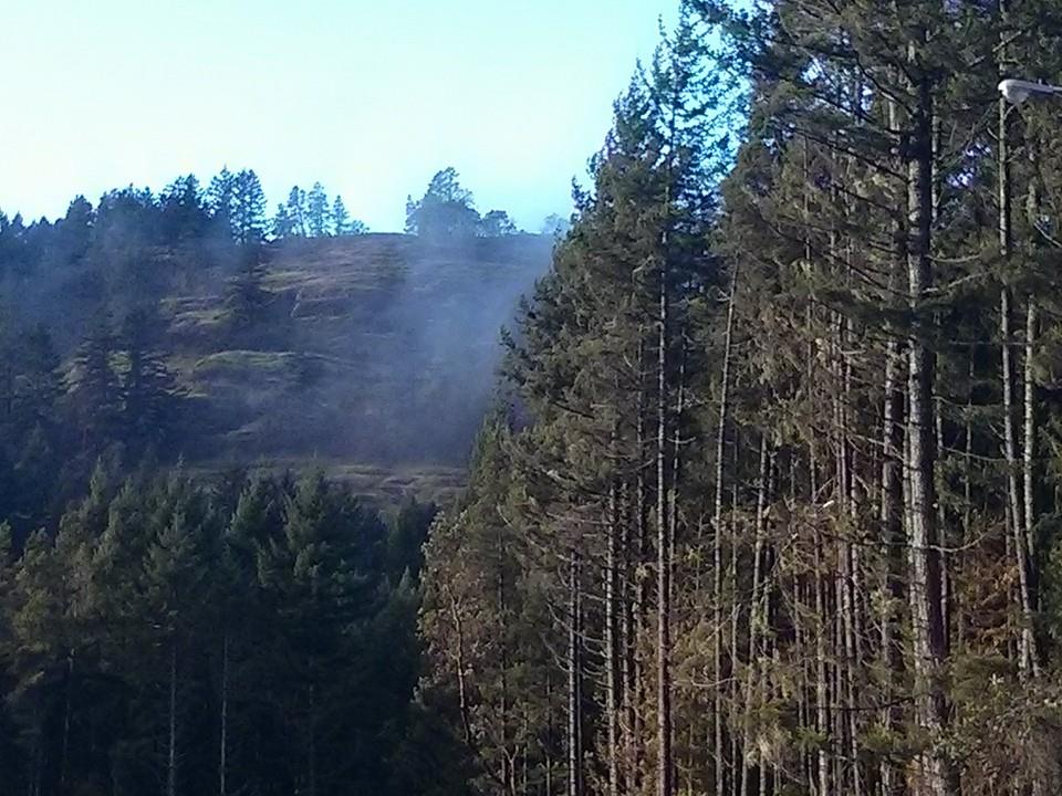
| We followed a wide trail/small gravel road directly to the end of Stewart Mountain Rd and ended up in familiar territory. This was a bit of a rocky start, but only took us about 40mins. From the end of Stewart Mountain Rd we followed the trail system towards Thetis and took the first major right. Here we ran into a few people walking dogs and a couple mountain bikers. We followed the trail along the power lines and ended up on Millstream Road, which was the only section of our run we had to be on pavement. In total we ran about 2.5kms on the road, which included going down Millstream Rd, up Finlayson Arm, and onto Rowntree Rd. 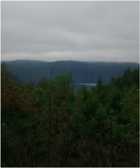 | 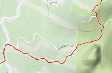 Route from Davies Rd to Stewart Mountain Rd. and Millstream At the end of the paved section on Rowntree Rd we joined up with the Gowlland Tod Provincial Park and headed towards Caleb Pike. Here we were greeted with some of the first great views of the day. We could finally see the ocean and look across to the Malahat. By the time we reached Caleb Pike we were almost 9kms and 1.5 hrs into the run. Not the speediest pace, but the bush-wacking and hills slowed us down. Regardless, I was starting to get quite hungry since I had only had one gel since the start. Thus, we made a plan to stop at Jocelyn Hill for lunch. We ran up and down along the "ridgetop" trail occasionally stopping to take in the view and snap a couple pictures. The trail took us up and over Holmes Peak through old growth forest and along mossy bluffs. |
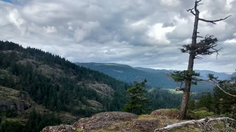
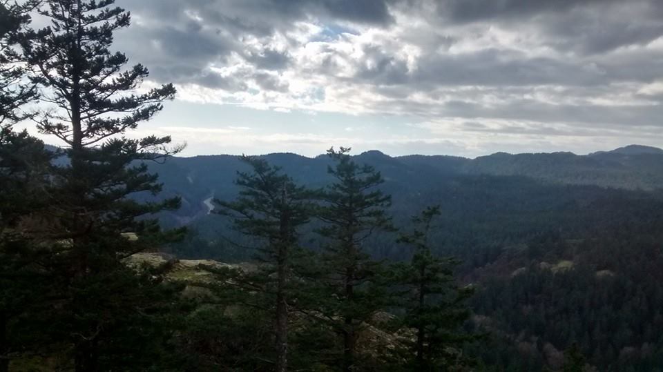
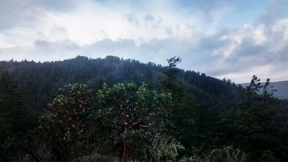
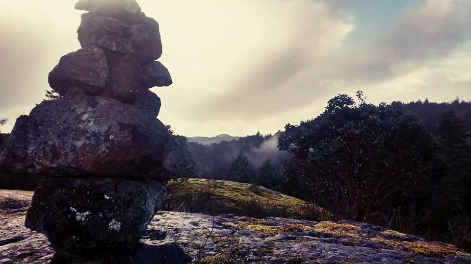
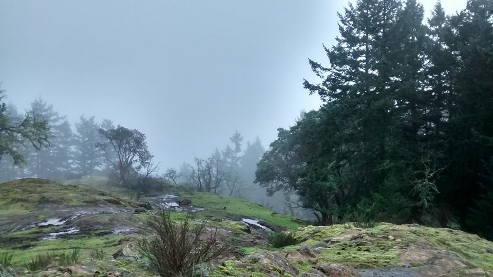
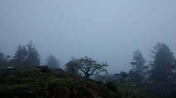
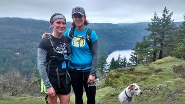 Holmes Peak Finally, after 2.5hrs and 13kms we reached Jocelyn Hill, which is always a pleasure. There were also few other hikers here having lunch. Jocelyn Hill is a big rocky mound covered in moss and arbutus trees. It overlooks the Saanich Inlet and across to the Malahat Highway. What a great spot for a cliff bar and another gel. We paused here for probably 20mins or so before heading back on our way. The trails beyond Jocelyn Hill were quite unknown to all of us, but we assumed that they would be easy enough to figure out. However, not far down the trail we neglected to read the map and ended up heading back on the Jocelyn Hill loop rather then towards Mckenzie Bight. Luckily I was looking at my GPS and discovered our mistake before it cost us much more time and energy. 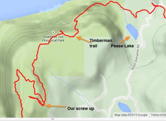 We ran/hiked our way up Mount Work. This was my first time doing the summit trail since Darryl and I usually bike on the Hartland side. I was thankful for how mellow the climb was. Many flat spots I was able to jog a bit without killing my already dead legs. Darryl and the dog were still feeling spry so they ran ahead of my coworker and I. We stopped very briefly at the top of Mount Work so my coworker could have a snack before descending down the mountain. Since it was so cloudy there was not much of a view, but I was happy to be on the final leg of the trip. I was very pleasantly surprised at how well booted the trail down the backside of the mountain was. I had no idea it was so popular. At dusk we finally emerged back out onto the parking lot where we began. We did a team high-five and piled into my truck. Our total time was 5:29:12 with breaks and total distance was 26kms on the dot. | 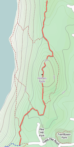 Route along Ridgetop Trail Once we were on the right track back on the "timberman" trail we were on cruise control. The trail headed down into dark old-growth forest. At some points I thought to myself how spooked I would be if I was alone. We didn't come across many other people in this section and it felt quite isolated. Around 7kms (including our backtrack) after Jocelyn Hill we reached Ross Durance Rd. Since it was a Sunday there were a ton of vehicles parked along the road. We used the bathroom here, looked at the map for Mount Work, and then carried on. By this time my legs were starting to cramp and I was feeling hungry so I ate my last cliff bar. 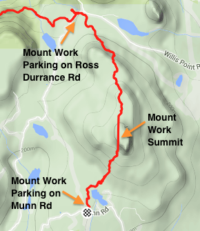 |
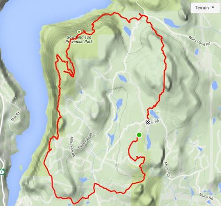
GPS map of our run, I forgot to start the GPS right away as you can see

 RSS Feed
