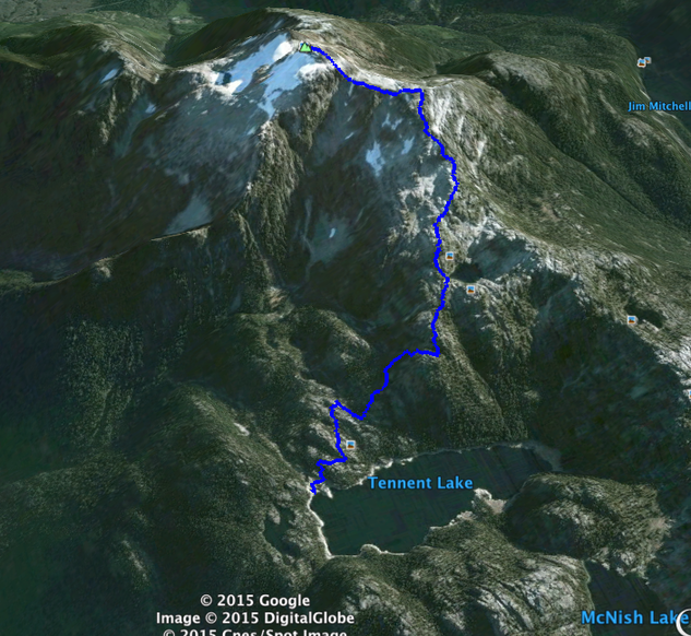
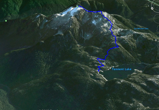
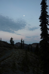
Day 1: Slog to Tennant Lake
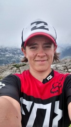
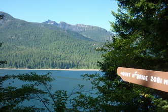
For my birthday weekend Darryl, our friends Aaron and Alana, and I decided to hike Mount Myra and camp at Tennant Lake. Mount Myra is a 1810m peak in the Strathcona Park above the Westmin Mine that is beautifully showcased to anyone on the Flower Ridge Trail. Tennant Lake is a 1.5-2hour hike from the parking area just passed the mine up an old overgrown skitter road. It is a great spot to camp and break up the hike to Mount Myra.
The weather forecast for the weekend did not look good, calling for around 10mm of rain, but I thought to myself that the report must be wrong since it was the beginning of August and assumed that things would improve. Boy was I wrong… To make matters worse, Darryl and I both packed pretty minimally for this trip. We brought rain jackets, but no rain pants and no gators. We also only brought minimal dry clothes…
The weather forecast for the weekend did not look good, calling for around 10mm of rain, but I thought to myself that the report must be wrong since it was the beginning of August and assumed that things would improve. Boy was I wrong… To make matters worse, Darryl and I both packed pretty minimally for this trip. We brought rain jackets, but no rain pants and no gators. We also only brought minimal dry clothes…
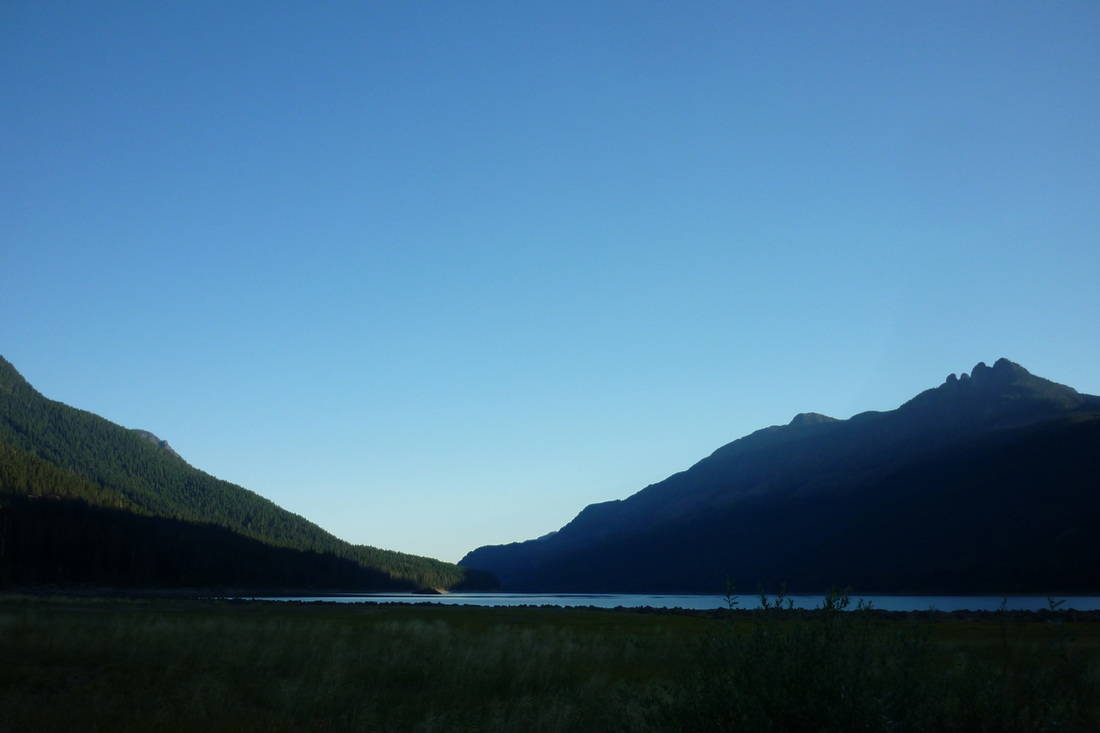
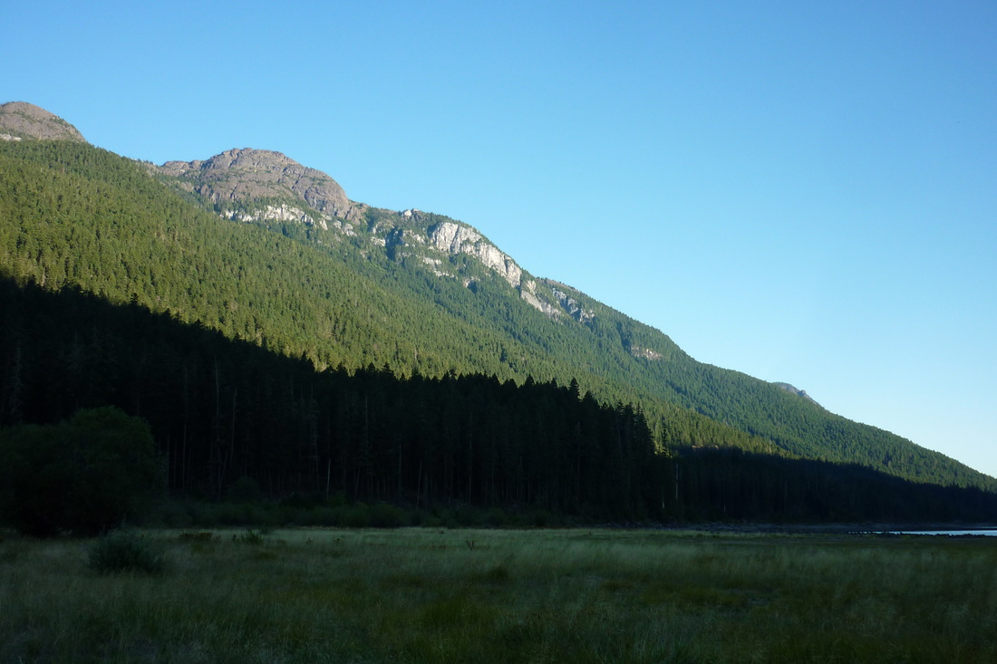
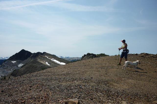
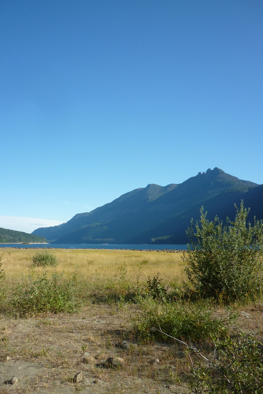
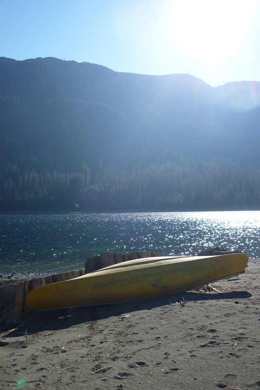
The group of us met in Campbell River just after 1500 and hit the all too familiar Highway 28 to Gold River together. We drove to the end of Buttle Lake, passed through the Westmin Mine, and parked in the little parking area on the right. When we got out of our vehicles the rain was coming down hard and we met a few soggy hikers just coming down from Mount Myra. I was a bit jealous that they were finished and we were only beginning this soggy adventure… I threw some clothes and a few things into a giant garbage bag in my pack and didn't really think about how wet we could get. I decided to wear my less water proof clothes to hike in and saved my rain pants for the next day.
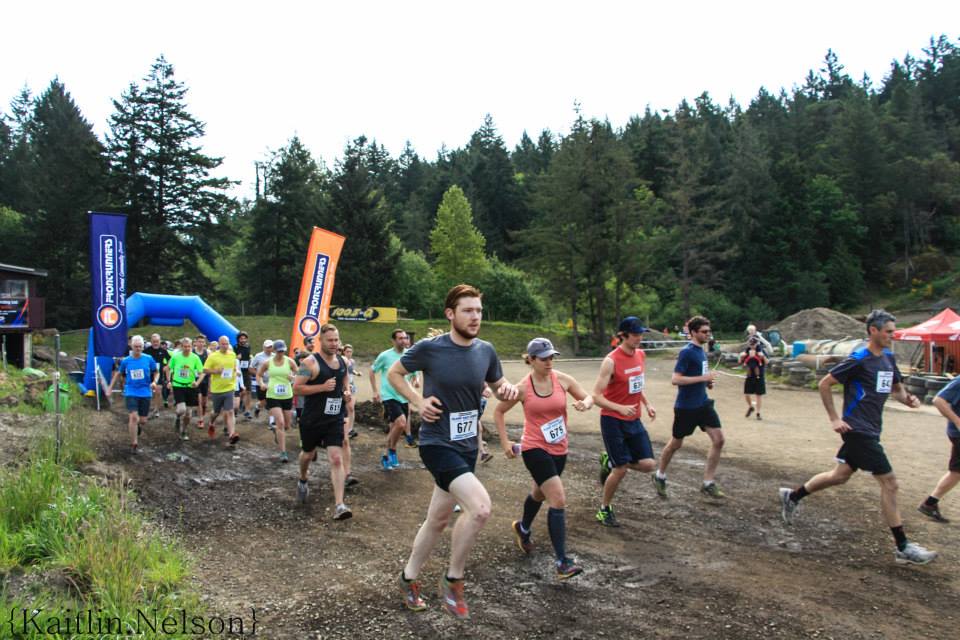
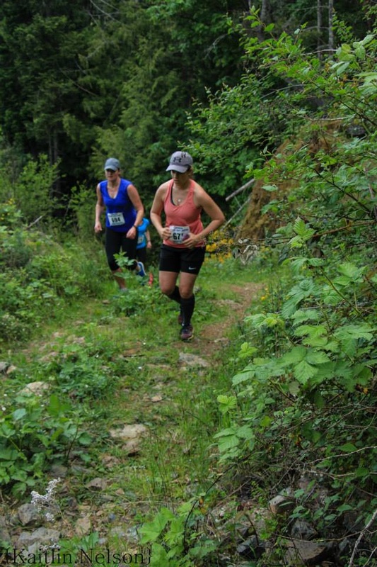
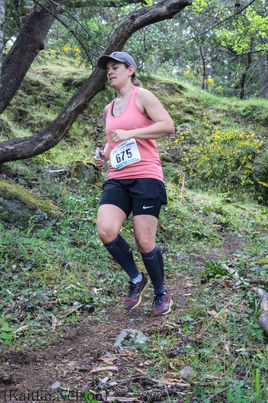
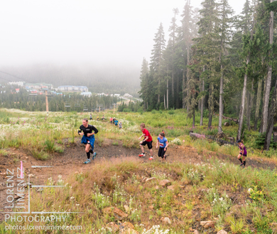
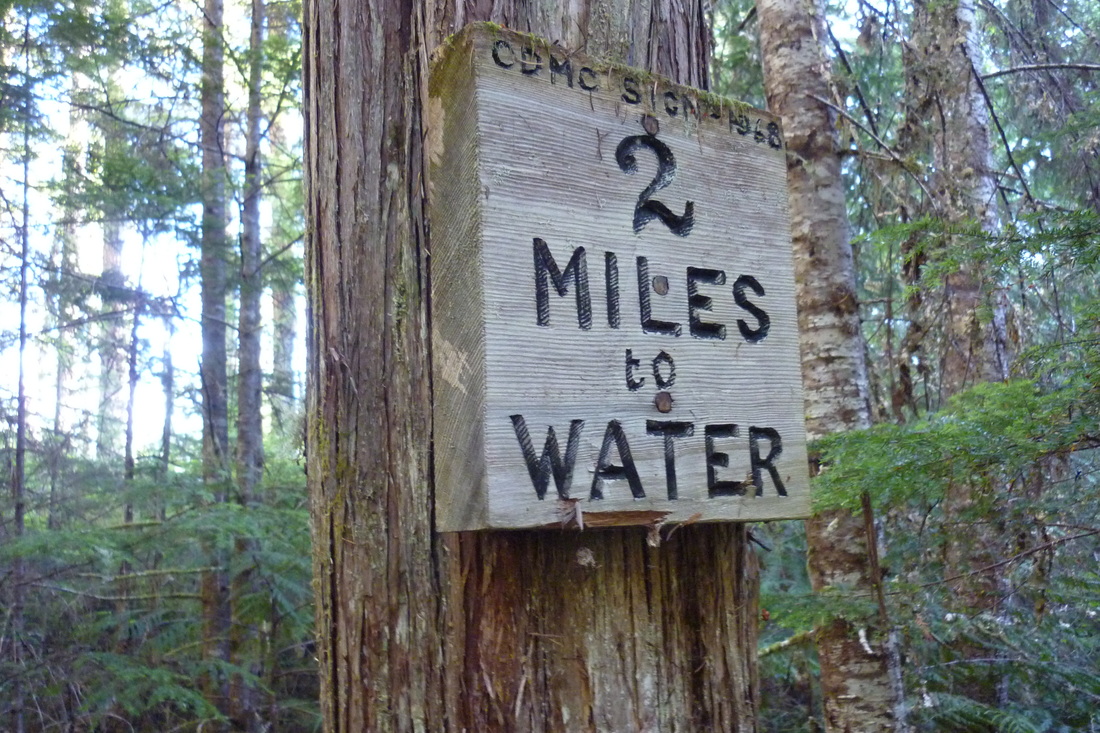
We started hiking at around 1650 and the rain was coming down good. Darryl and I had run the Mount Washington Gut Buster that morning and were quite tired before we even started hiking. We headed through a yellow gate and down the road, passing the start of Philips Trail and Upper Myra Falls Trail on our right. About 10mins down the road we crossed a bridge and found a small sign for Tennant Lake off to the left.
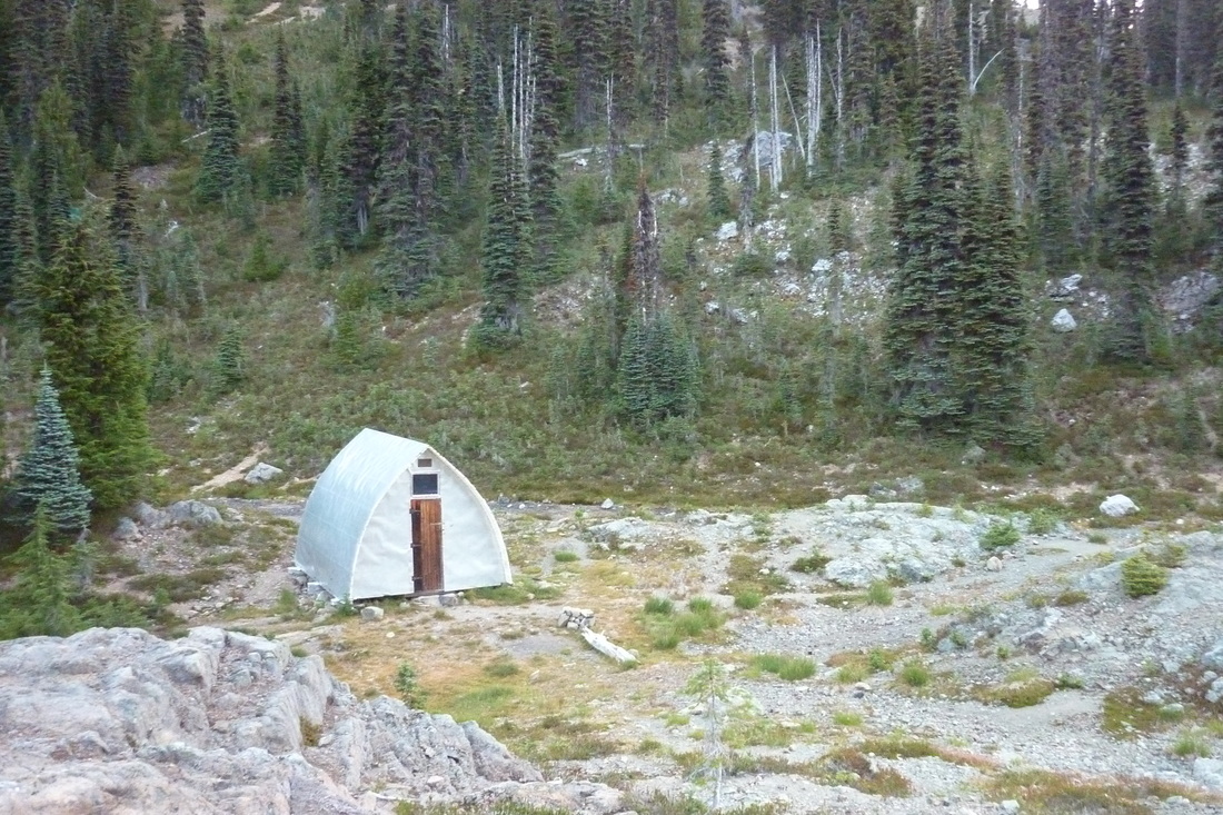
The trail started out wide and on an old skitter road, but as time passed, became steeper and more overgrown. We ran into three different groups of people all coming down from either Tennant Lake or Mount Myra summit. They were all soaked to the bone and I got a sinking feeling as I imagined them getting into their nice warm cars at the end of the day while I would be crawling into a cold wet tent… Nevertheless, we carried on passing a shelter that must have been setup for workers repairing the pipeline down from the lake. We had a quick pause here and I borrowed an extra tarp that was laying on the ground for our gear to hide under.
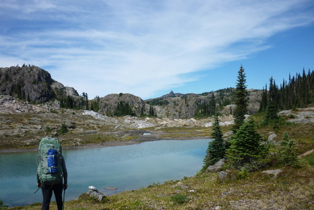
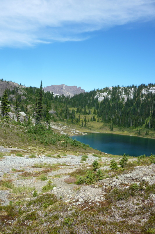
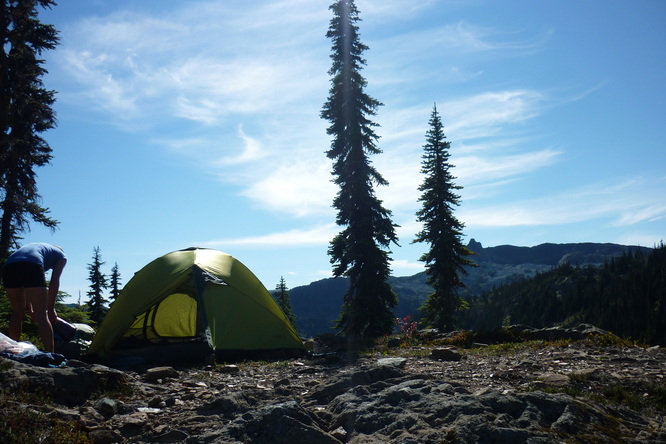
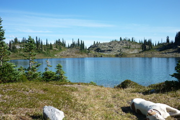
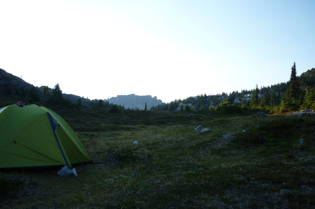
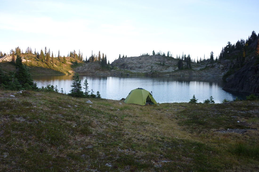
With a slowish pace and plenty of small breaks we arrived at Tennant Lake at 1850. We climbed down into what I am sure is usually underwater and camped in a rocky bowl below the first dam. We rushed to set up our tents as the rain came down and pinned down our tarps to rocks on the ground with twine. I pulled gear our of my bag only to discover that my sleeping bag was quite wet along with my extra socks, underwear, and bra that did not make it into the garbage bag…. Luckily Darryl had some extra dry undergarments for me to borrow.
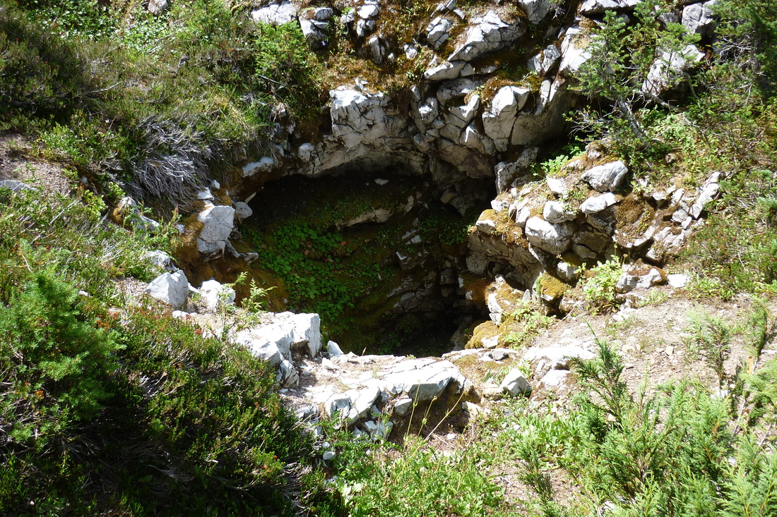
Darryl and I organized our gear, taking all our wet stuff out and putting it outside. I was shaking uncontrollably as I tried to change into dry clothes. We quickly put all of our food in a dry bag and Darryl ran out of the tent to make a food cache. Ages later she returned and stated that she could not find a tree so she strung a rope across a large rock pit and hung our food in the middle. Ingenious! There is a picture of it down below.
We started hiking at around 1650 and the rain was coming down good. Darryl and I had run the Mount Washington Gut Buster that morning and were quite tired before we even started hiking. We headed through a yellow gate and down the road, passing the start of Philips Trail and Upper Myra Falls Trail on our right. About 10mins down the road we crossed a bridge and found a small sign for Tennant Lake off to the left.
The trail started out wide and on an old skitter road, but as time passed, became steeper and more overgrown. We ran into three different groups of people all coming down from either Tennant Lake or Mount Myra summit. They were all soaked to the bone and I got a sinking feeling as I imagined them getting into their nice warm cars at the end of the day while I would be crawling into a cold wet tent… Nevertheless, we carried on passing a shelter that must have been setup for workers repairing the pipeline down from the lake. We had a quick pause here and I borrowed an extra tarp that was laying on the ground for our gear to hide under.
With a slowish pace and plenty of small breaks we arrived at Tennant Lake at 1850. We climbed down into what I am sure is usually underwater and camped in a rocky bowl below the first dam. We rushed to set up our tents as the rain came down and pinned down our tarps to rocks on the ground with twine. I pulled gear our of my bag only to discover that my sleeping bag was quite wet along with my extra socks, underwear, and bra that did not make it into the garbage bag…. Luckily Darryl had some extra dry undergarments for me to borrow.
Darryl and I organized our gear, taking all our wet stuff out and putting it outside. I was shaking uncontrollably as I tried to change into dry clothes. We quickly put all of our food in a dry bag and Darryl ran out of the tent to make a food cache. Ages later she returned and stated that she could not find a tree so she strung a rope across a large rock pit and hung our food in the middle. Ingenious! There is a picture of it down below.
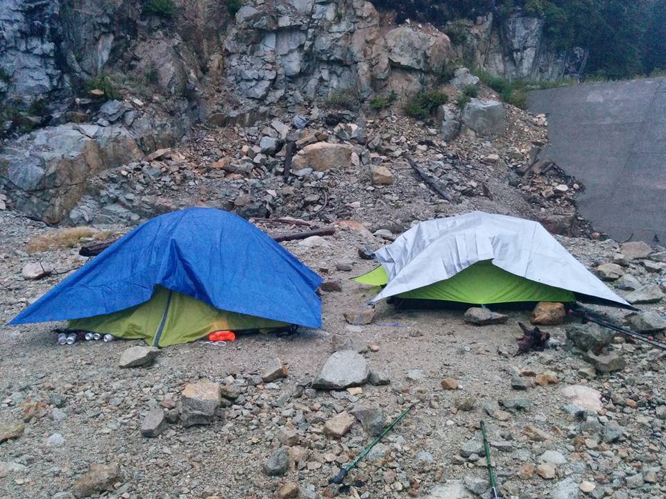 Our camp below the dam | 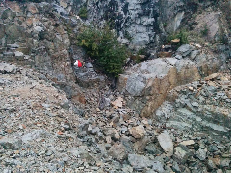 Rock pit food cache |
That night we sipped some of the beer that we packed up and hung out the bottom of our tarps talking to each other until it got too dark and rainy to carry on a decent conversation. As the night wore on the wind kicked up and soon both of our tarps were flailing around loudly. The rain poured down and I slept very poorly scared that the wind would rip off our flapping tarp. At one point Aaron and Alana had to run out into the dark to pin their tarp back on after it shook free. I probably only got a few hours of sleep mixed in with dreams of bears and rising water. It was a night to remember to say the least.
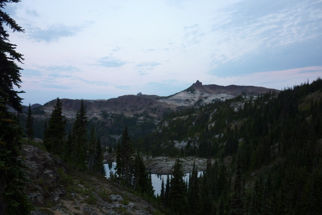
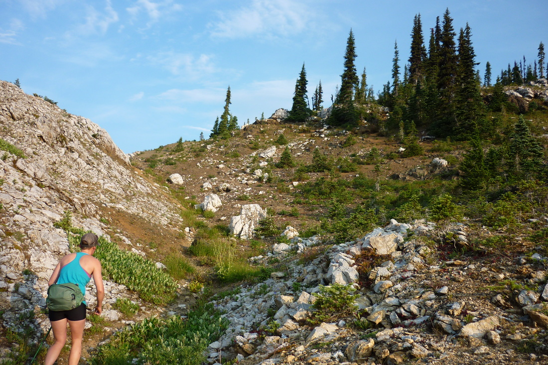
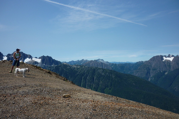
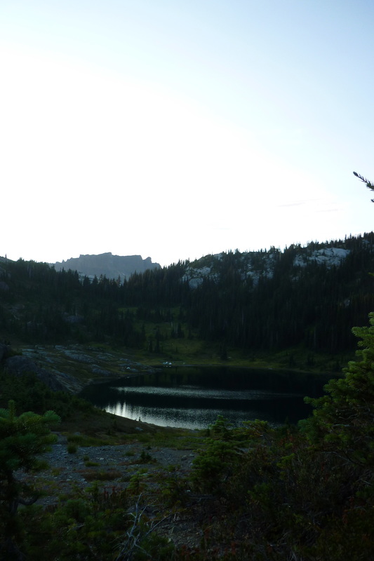
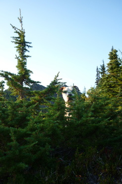
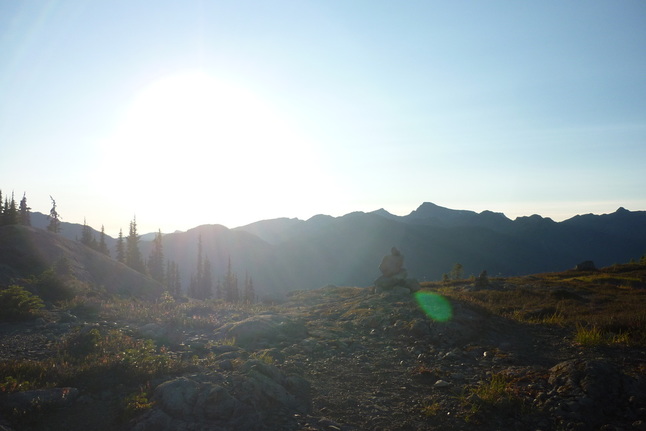
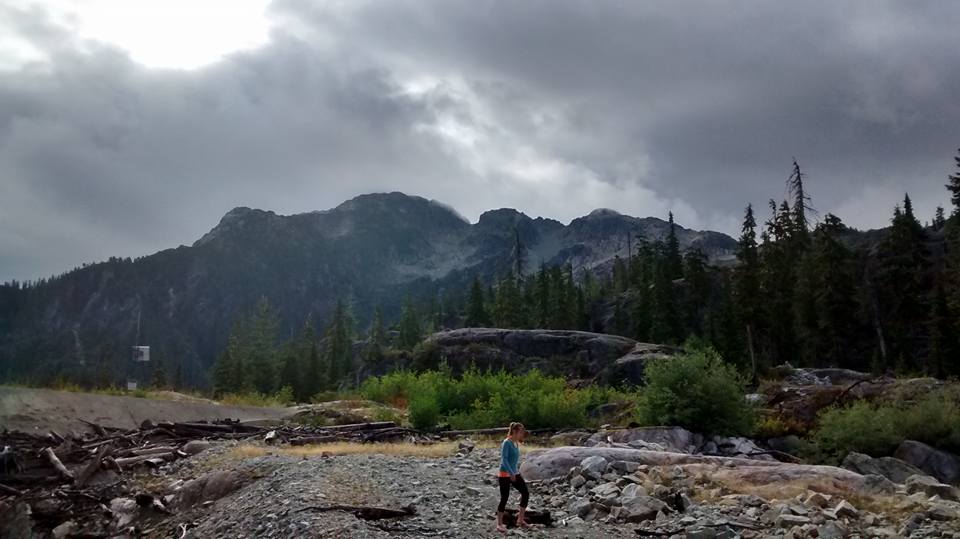 Myra summit from our camp The next morning it was my birthday and we awoke to silence. I popped my head out of the tent to discover small patches of blue sky. We scrambled out of the tent and began slowly cooking breakfast and packing gear. In the heavy rain the night before we decided that we were going to hike straight out and forget the hike up Myra, but I was changing my mind. I figured that we had come up this far and had to put wet gear on and hike through wet brush anyways so why not make it more rewarding. Also, I could see Mount Myra's summit teasing me in the distance. After a bit of convincing everyone was on the same page and we turned our boots up the trail to Mount Myra. At 0920 we headed over the two small dams on the east side of the lake and followed flagging and cairns towards the ridge that led to Mount Myra. It was a bit confusing at first, but once we found the booted trail it was smooth sailing. | 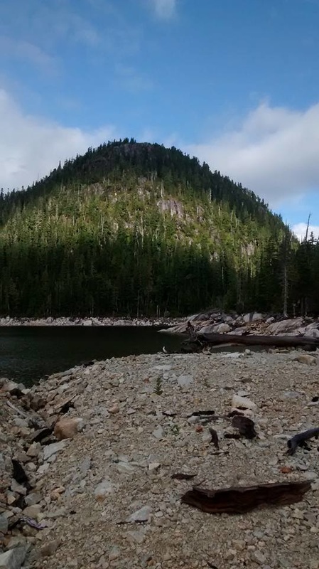 |
 Looking up at the ridge, small water fall coming from Sandbag Lake | 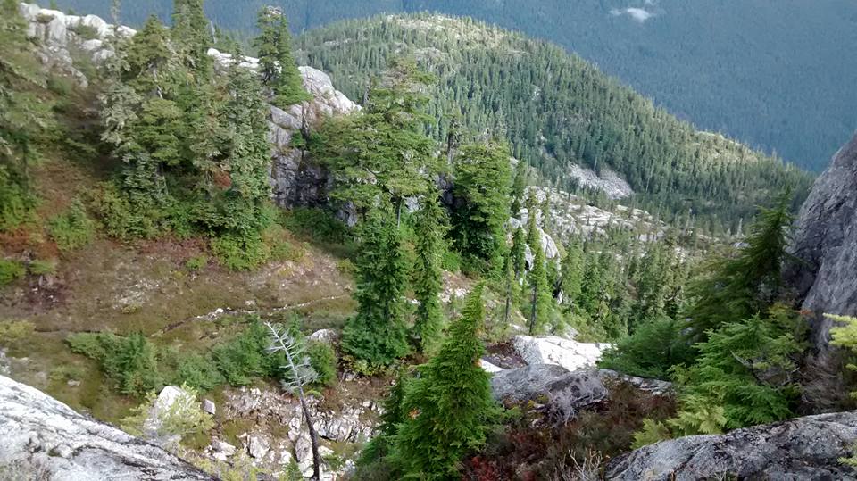 Looking down at the trail to Mount Thelwood 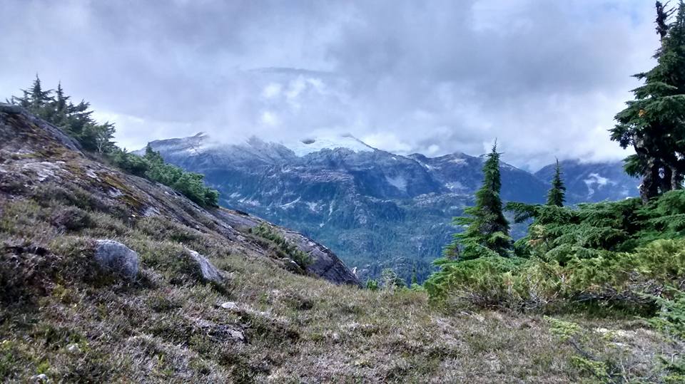 Tom Taylor peaking through the clouds |
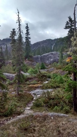
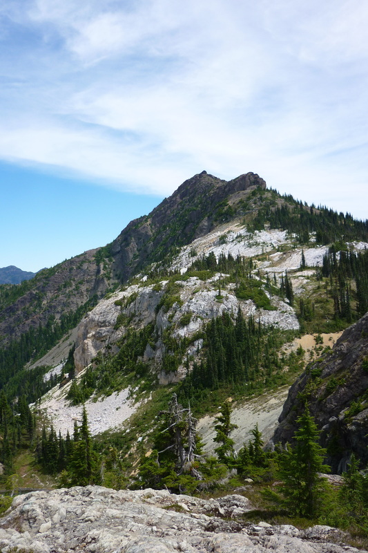
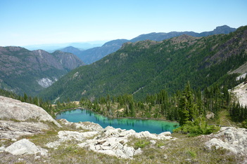
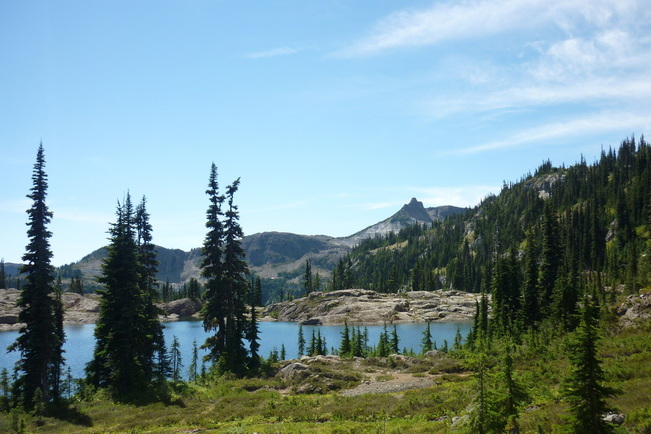
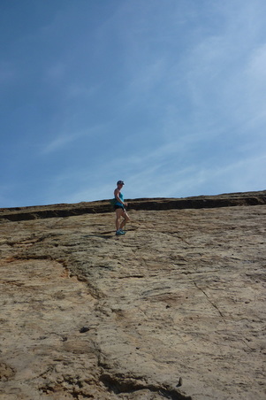
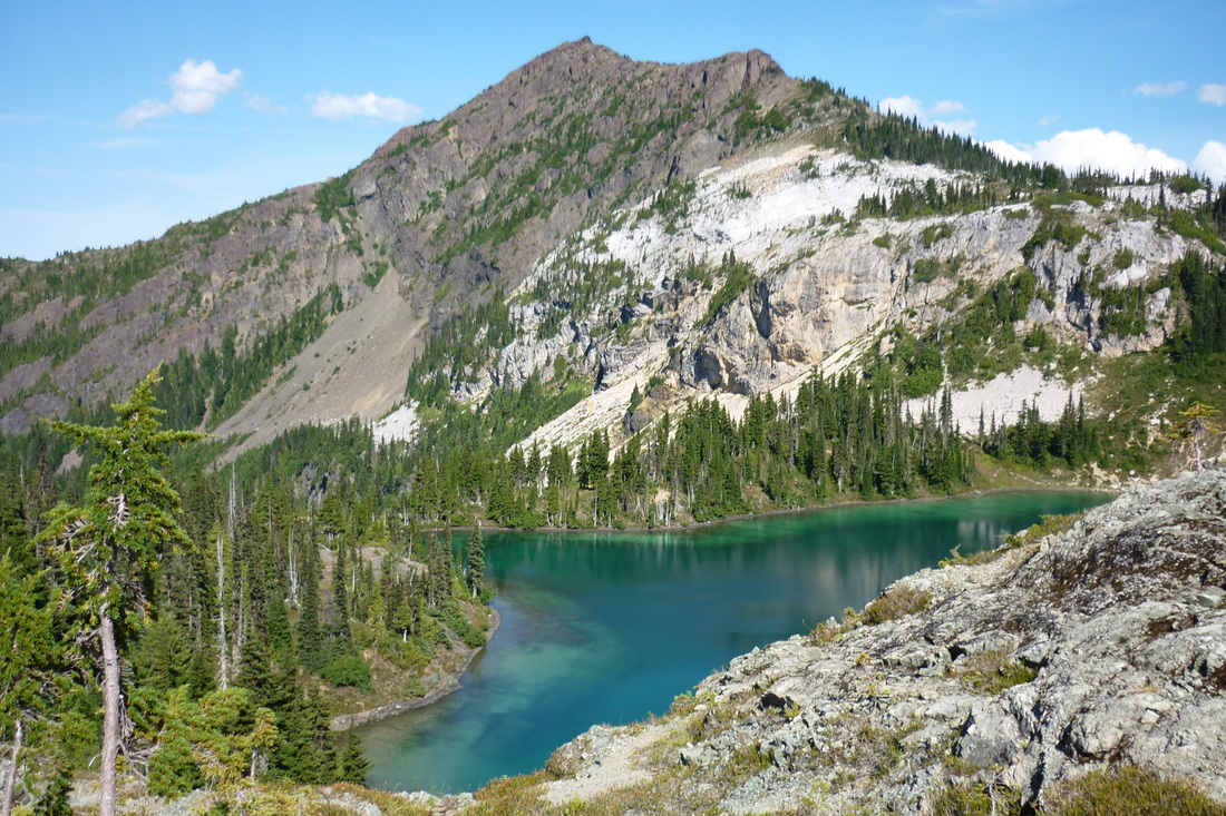
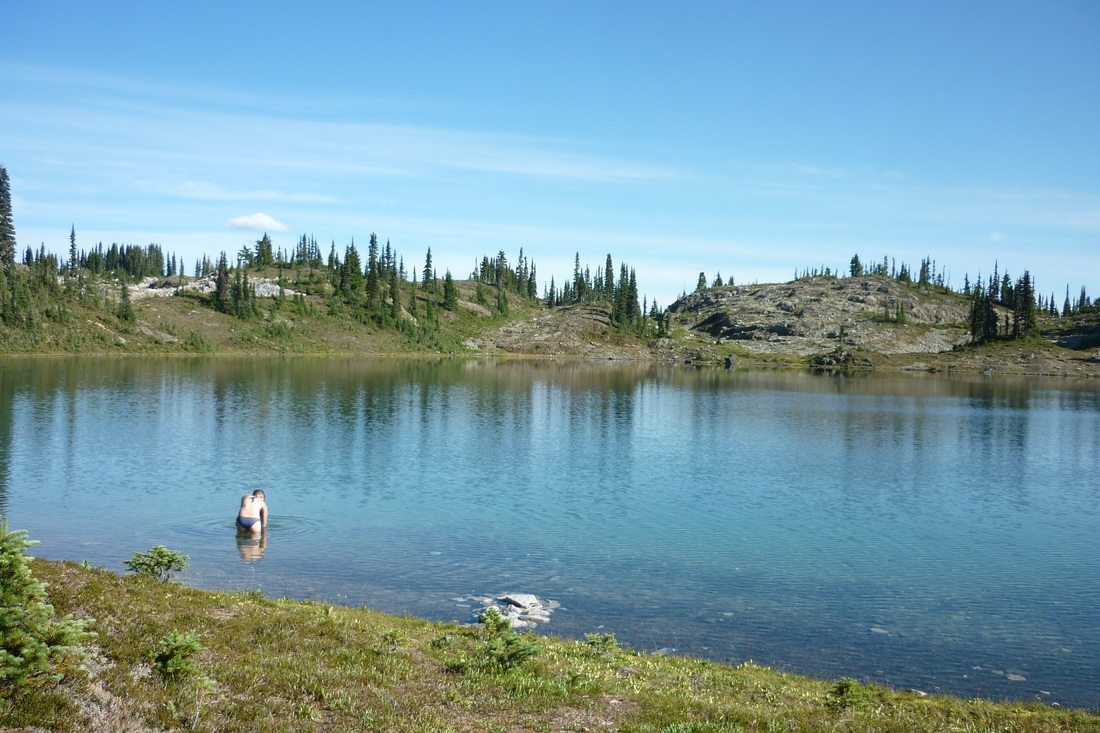
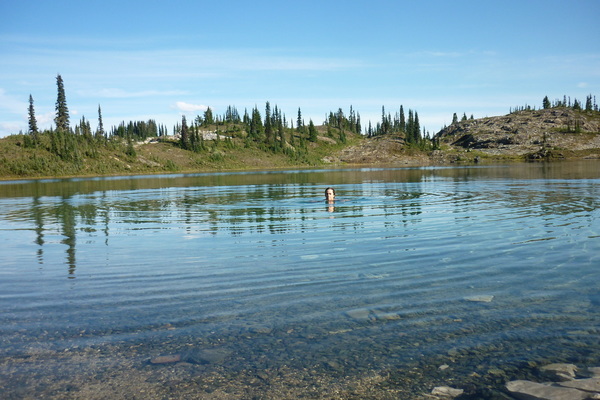
The climb up the ridge was wet and slippery. We had to move very slowly because it was steep and required careful footing and hand placement. However, there were some great branches and roots to grab along the way and it wasn't long until we crested the ridge. Here it was easy to make the turn east off the Mount Thelwood route up to Myra. There was an obvious split in the trail and it was clear to see that the trail headed down the other side of the ridge if you carried on further. Not far from this point we reached the beautiful Sandbag Lake. If it was sunny I would have loved to jump in!
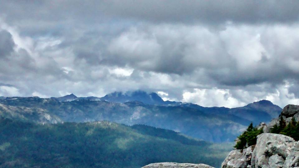
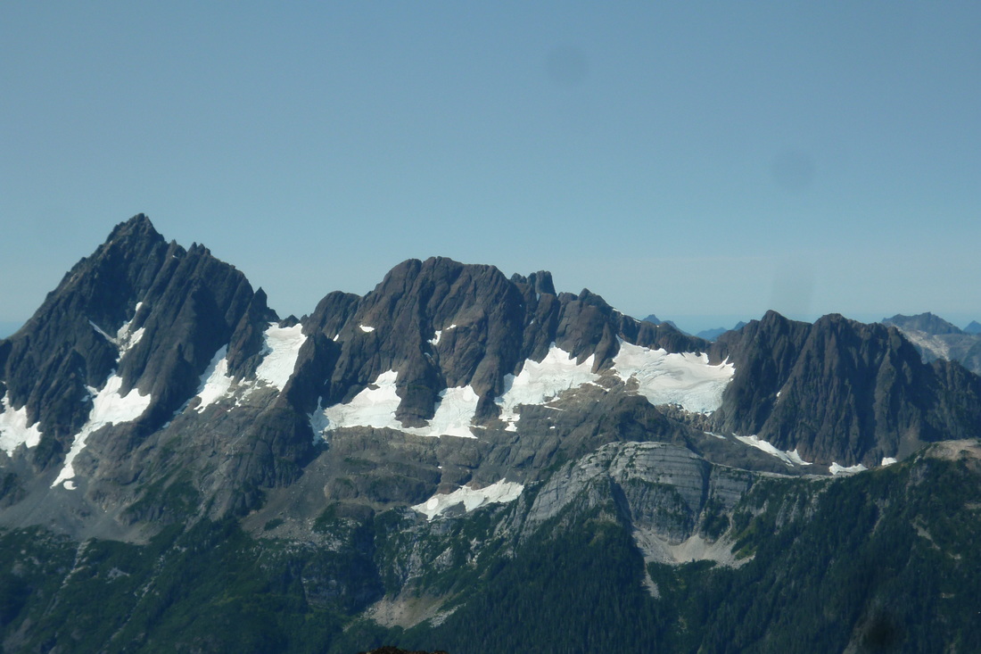
The visibility at this point wasn't the greatest. We could see the summit, but most of the surrounding mountains were covered in clouds. However, the higher we climbed, the more the clouds blew off and the more we could see. Soon snowy glaciers from surrounding mountains like Tom Taylor and Mount Thelwood were popping out.
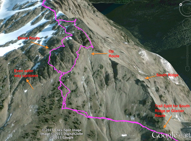
The final climb up from the ridge to the summit was a lot less scary then I imagined it would be. We had no troubles following the booted path and cairns here. Trailpeak.com and Quagger from Island Hikes posted some great pictures of the route up the summit block, which helped tremendously. We took the route straight up the steep gully rather then wrapping around to the right of the summit block. It was a bit scary at times because it was wet, but there were plenty of secure handholds, footholds, and minimal shale.
The visibility at this point wasn't the greatest. We could see the summit, but most of the surrounding mountains were covered in clouds. However, the higher we climbed, the more the clouds blew off and the more we could see. Soon snowy glaciers from surrounding mountains like Tom Taylor and Mount Thelwood were popping out.
The final climb up from the ridge to the summit was a lot less scary then I imagined it would be. We had no troubles following the booted path and cairns here. Trailpeak.com and Quagger from Island Hikes posted some great pictures of the route up the summit block, which helped tremendously. We took the route straight up the steep gully rather then wrapping around to the right of the summit block. It was a bit scary at times because it was wet, but there were plenty of secure handholds, footholds, and minimal shale.
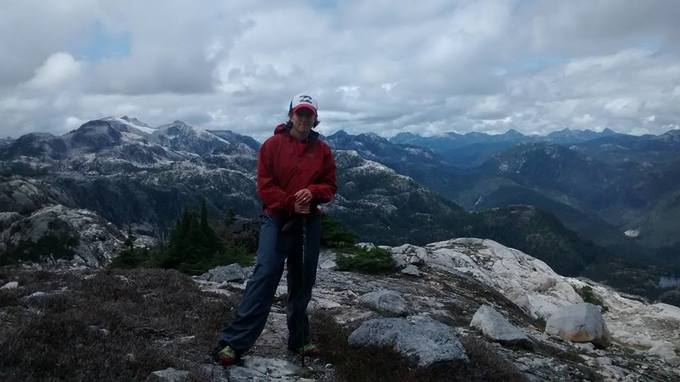
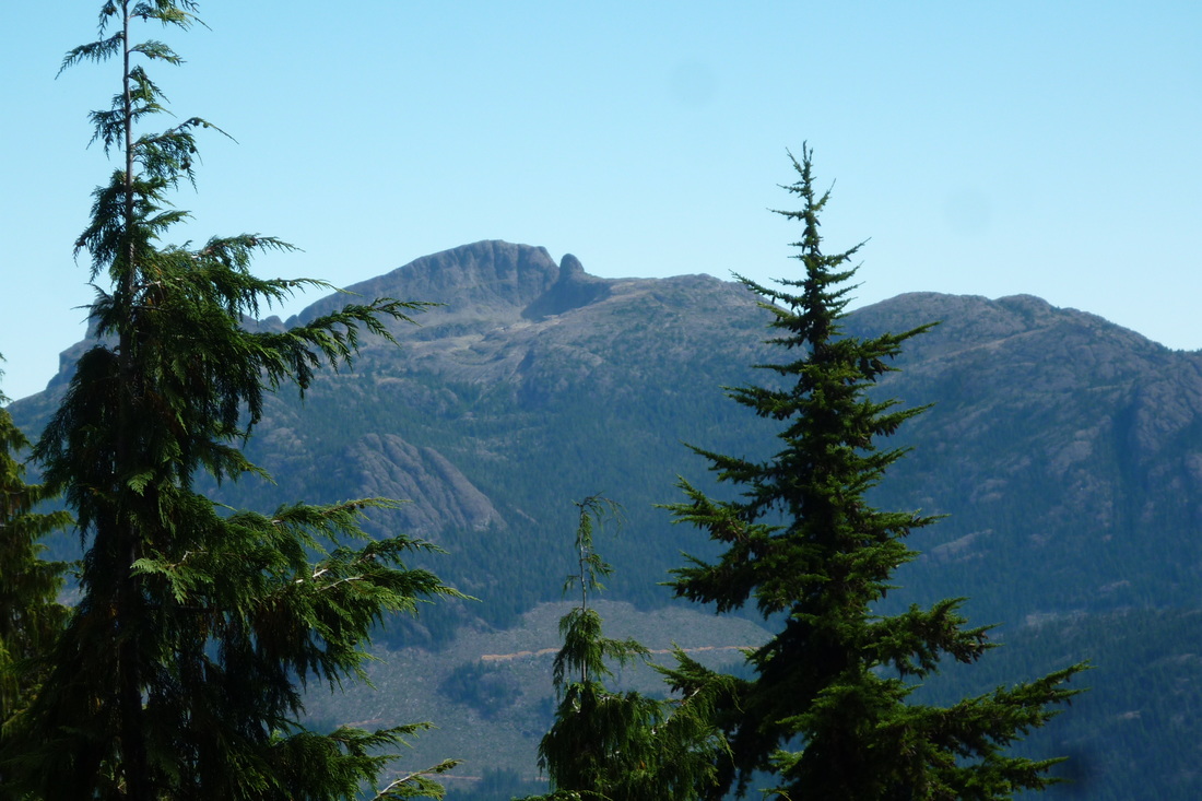
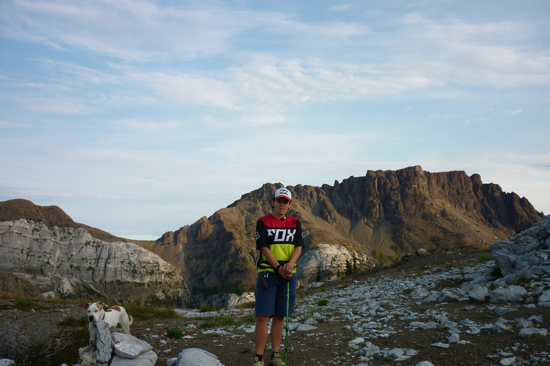
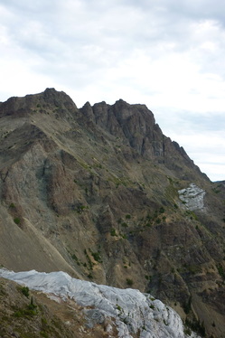
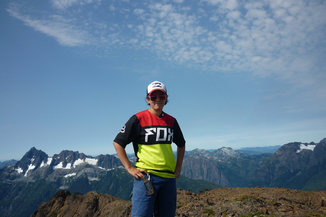
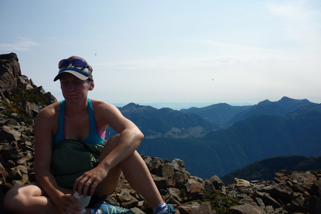
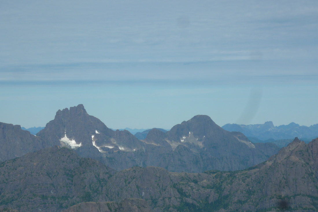
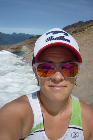
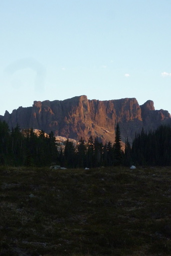
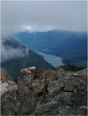 Buttle Lake from the summit At 1150 we reached the large summit cairn. Fog was whipping by, but we would get short glimpses of the surrounding areas as it cleared from time to time. We saw Buttle Lake, Flower Ridge, Green Lake, Cream Lake, Bedwell Lake, Mount Thelwood, Moyeha Mountain, Big Interior, and Mount Tom Taylor. Not half bad. We enjoyed a few snacks before heading back down from a successful summit. | 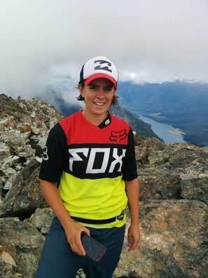 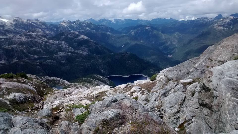 |
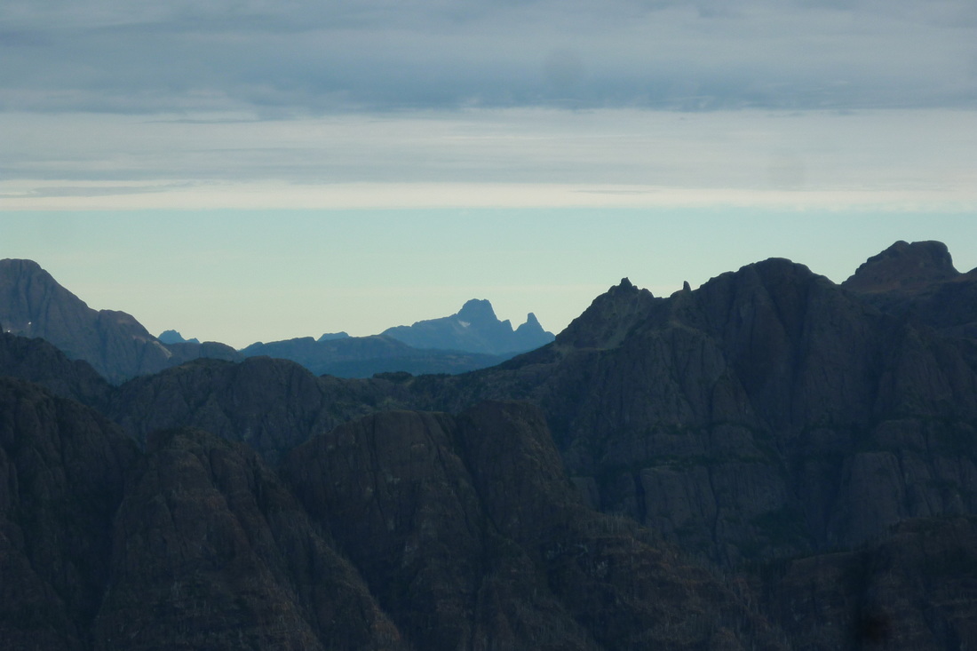
 |  The Golden Hinde rising into the clouds 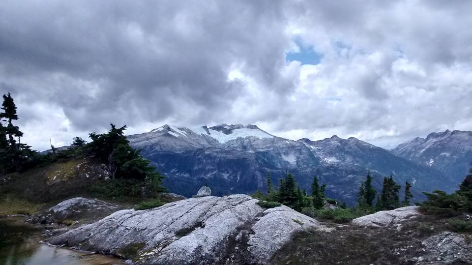 Mount Tom Taylor |
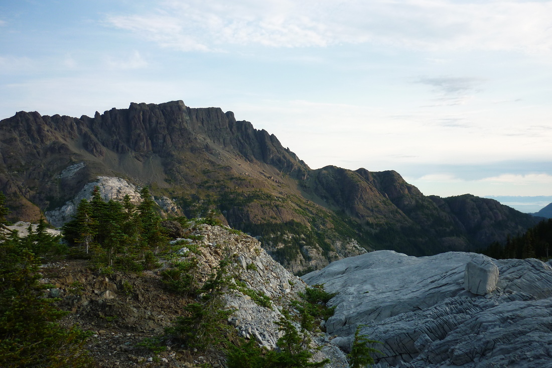
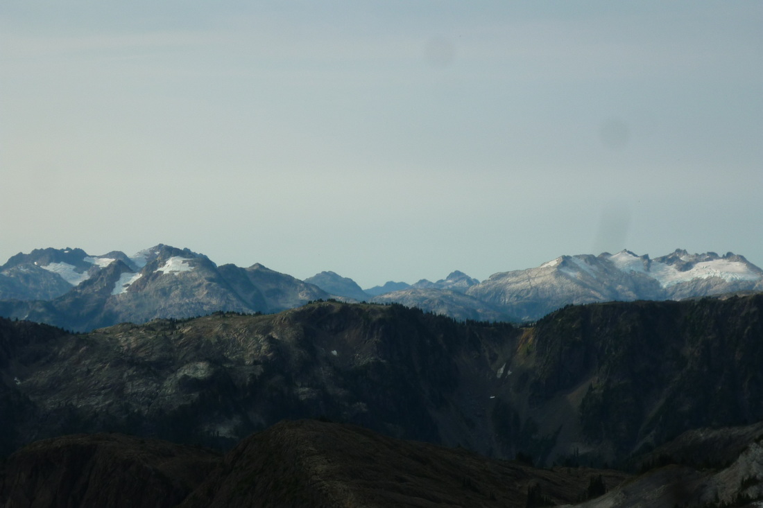
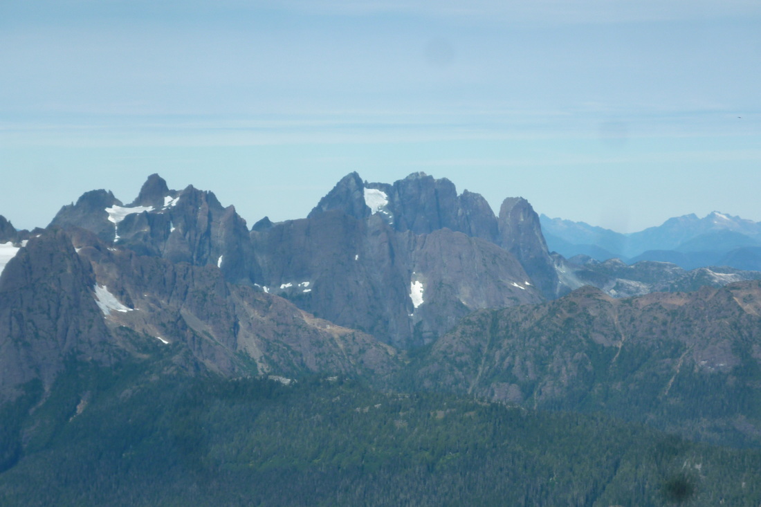
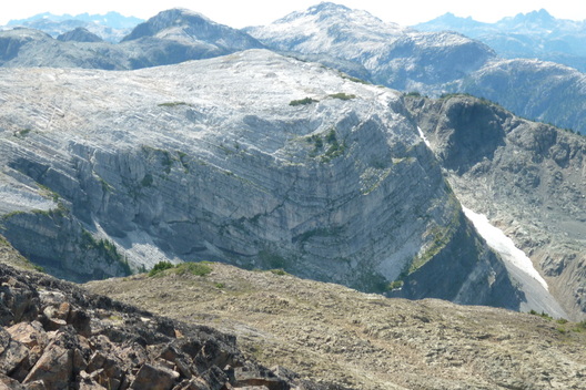
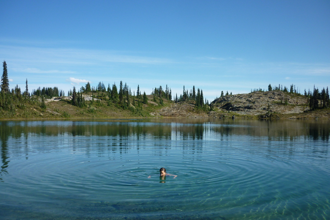
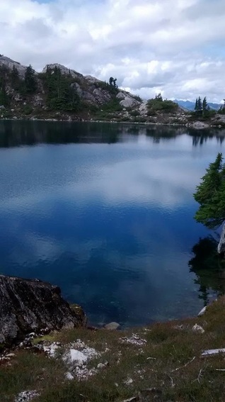 Sandbag Lake | On our way down the mountain we had to go slow due to the dampness of the trail. However, it still hadn't rained a drop. When we came back around the mountain the clouds had risen up so we could see deeper into the park and the Golden Hinde, Mount Mcbride, Morrison Spire, Marble Peak, and Mount Philips were in view. We descended down to Sandbag Lake, which was much more beautiful from up above. The light blue, crystal clear water rippled down below us. I was so fixated on it that I hiked us right down to the edge so we had to scramble around to get back on the right trail. We down-climbed off the ridge and made it back to Tennant Lake without issue. We packed up our bags and headed back down the trail from the lake to cars at 1445 just as it started to spit rain. I dropped off the tarp we borrowed back at the little shelter along the way. The rain didn't last long and we made it back to the vehicles at 1600. What an adventure and hike for the books. This is a great easy hike for those used to hiking a well beaten path, but looking to step it up a notch route finding and scrambling. |


 RSS Feed
