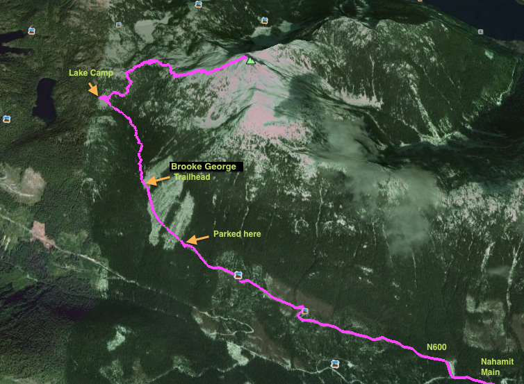
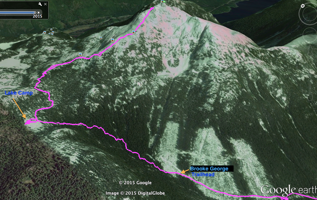
Brooke George Trail
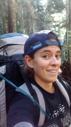
Well I made another attempt at Mount Klitsa recently. My last attempt was from Brigade Lake. Feel free to read that post for a good laugh. My partner had some footwear difficulties. Currently it is November, the weather is chilly, and the days are short. Thus, my friend Lauren and I planned to do this 1642m peak as an overnighter so as not to get caught hiking in the dark. For those that aren't aware, Mount Klitsa is the second highest peak on Southern Vancouver Island and is best viewed from Port Alberni looming over Sproat Lake. For this trip we took a fairly direct route up the mountain on the Brooke George Trail.
To get there:
Lauren and I left Victoria in the dark on a crisp morning at 0530. We drove through Port Alberni towards Tofino and took a left on McCoy Lake Rd off of the highway before Sproat Lake. From here we took another left on Stirling Arm Dr and kept left to follow Stirling Arm Dr until it came to a five-way intersection. Here we took the gravel option called Industrial Rd until it hit Stirling Arm Rd where we headed west along the edge of Sproat Lake. Eventually we hit a major intersection where you can either go right on Taylor Arm or stick left, which we did, on Gracie Lake Main. This road winded up and up a steep hill to Gracie Lake and then descended back down again into the Nahamit Valley. Again we hit another intersection and took a right on Nahamit Main line and followed it to spur N600. Here we entered an active logging area and had to tread carefully around the workers and equipment. We drove as far as we could without interrupting them and then parked about 600m from the top of the road where there was a good pull off. By this time it was 0900, 3.5 hours from the start of our drive.
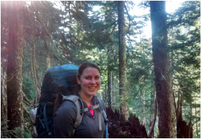 | We loaded up our packs onto our backs and headed up the road. We were breathing hard rather quickly, but in just a few minutes we entered the forest and saw where the Brooke George trail sign stood in shambles from a recent windstorm. The start of the trail was quite nice. Not very steep, but carried slowly up through a beautiful stand of large timber. The sun had come out and light was streaming in through the trees and mushrooms were out spotting the ground. The trail was well flagged and fairly well booted, which made it easy to follow. |
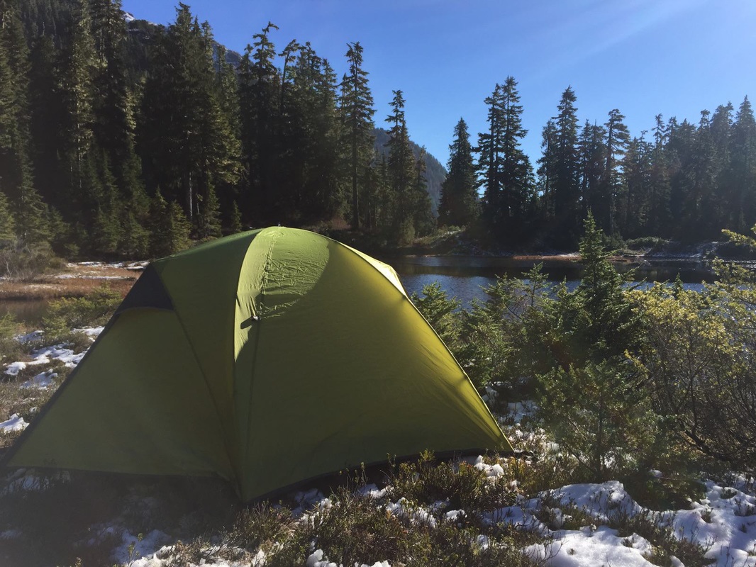 |  |
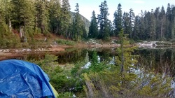
After just over an hour we reached the lake where we planned to set up camp. We didn't see a definite camp so we made our own along the right side of the lake opposite from where we hiked up. The ground had some fresh patches of snow and was quite damp, but we found a flatish spot on a few rocks to pitch a tent. After a small break, and time to set up camp and create a food cache, we carried back up the trail. The time was 1145. Things got a bit tricky with the snow, but we were still able to follow flagging and eye the GPS. We passed a few bear tracks in the snow not far from our camp.
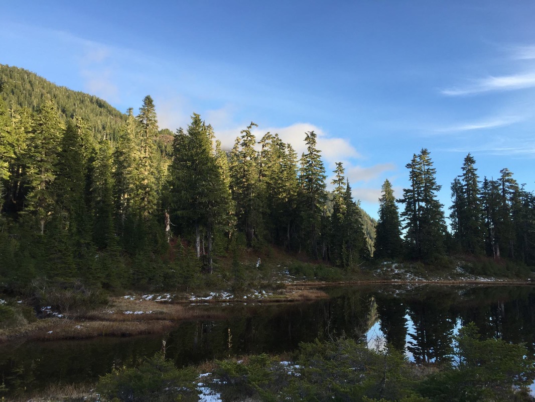
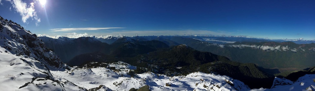
A short while passed and we started to head up and up to gain the ridge. It wasn't incredibly steep, but enough to get the lungs going. The ground was quite icy and the snow and ice became thicker as we ascended, making for more difficult hiking. In about an hour we were on top of the ridge and headed to the summit. Beautiful views of the surrounding mountains revealed themselves and the snow glistened with sunlight. Behind us we were greeted with a view of the Gibson-Klitsa Plateau, which was littered in small lakes.
A short while passed and we started to head up and up to gain the ridge. It wasn't incredibly steep, but enough to get the lungs going. The ground was quite icy and the snow and ice became thicker as we ascended, making for more difficult hiking. In about an hour we were on top of the ridge and headed to the summit. Beautiful views of the surrounding mountains revealed themselves and the snow glistened with sunlight. Behind us we were greeted with a view of the Gibson-Klitsa Plateau, which was littered in small lakes.
 Gibson-Klitsa Plateau  | 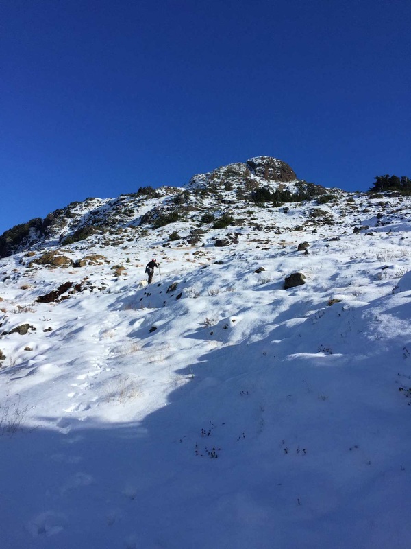 Up the ridge 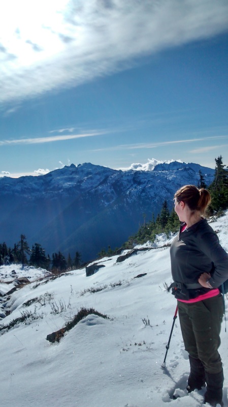 Looking back at 5040 and Triple Peak We slowly climbed our way up and over the humps of the ridge. The terrain was sub alpine and there were many small wind-blown trees and small shrubbery. Eventually we arrived just below the summit block and had to make a plan of ascent. From what I had read, sticking left to avoid the sketchy snow gully was a must. |
We headed up a bigger very obvious gully that wrapped around slightly to the north. The snow slowly became deeper and deeper. In certain places it piled rather high where the wind had blown it and I was unable to tell what I was standing on. I got a bit ahead of Lauren to try a couple routes up. Each way felt a bit too sketchy for me without crisper snow/ice, crampons, and an ice axe. It was hard to tell if I was stepping on soft snow that would give away or icy rock. Either way I was not comfortable. As well, we were almost at our turn around time of 1400. We had come to a nice shelf just below the summit to relax on with phenomenal views and I was satisfied with just that.
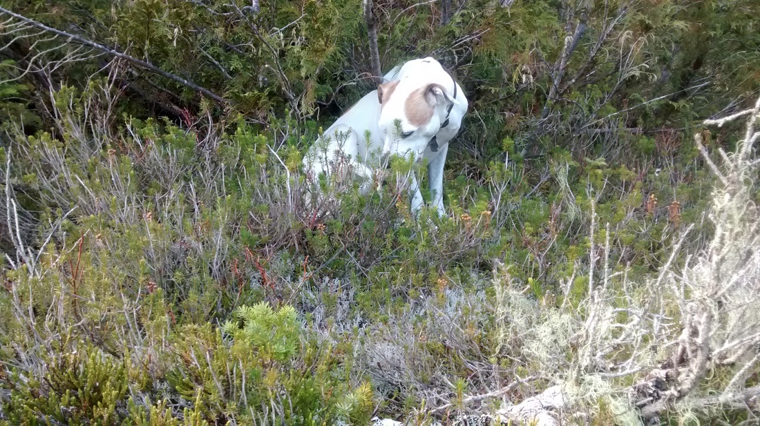
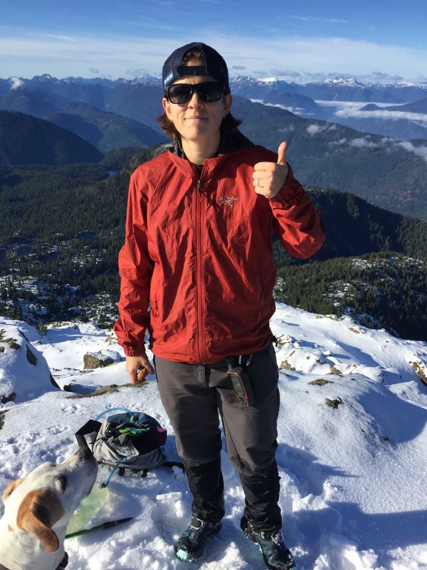 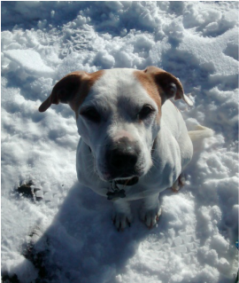  Sproat Lake | 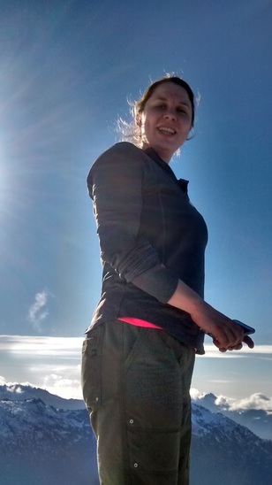 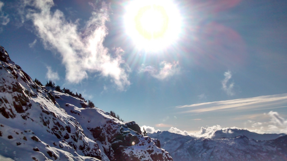 We took a short break to have some lunch and send off a few texts to let loved ones that we were alive. The view of the surrounding area was amazing. We had a front row view of Nahamit and Adder Mountain. I could also see 5040 with Triple Peak popping out from behind. Off in the distance I could see Red Pillar and the Comox Glacier, which is looking a little sad this year. Down below we could see Sproat Lake. After we were satisfied with our slight rest we headed back down towards camp. I was feeling bad for the dog who kept trying to lay in the snow but was too cold with his short hair. Also I noticed that he had cut one of his back feet that must have stung in the snow. |
 |  The hike down was made easier by the snow. It softened the terrain and made for easier steps, plus we could simply follow our tracks back to camp. It didn't seem to take long before we were off the ridge and headed back to the lake. I was very thankful for warm, dry clothes when we arrived back at camp. My toes were just frozen. I had switched into trail runners for the hike from the lake up and the snow had soaked right through. |
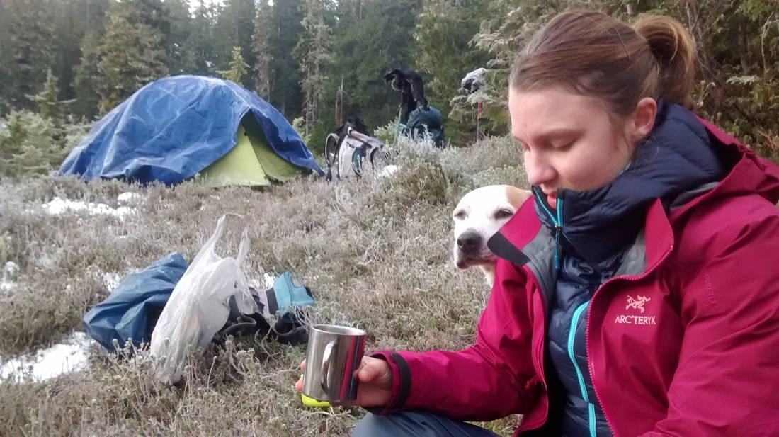
We grabbed our food cache and got settled to make supper as it became dark. The time change just happened so it felt a bit odd to have it get dark so fast. I sat on the ground eating chocolate covered raisins and sipping tea as the evening wore on. The stars came out in full force and we listened to music as we took in the night. Things froze around us and it wasn't very long before we were tucked into the tent.
That night we both had the same "dream" that a bear was sniffing our tent by Lauren's head… Interesting…. Not sure if that was real or not. Sleeping outside is never the best. The sounds of nature always start out quite soothing until something startles you in the middle of the night and you cannot see what it is. Also sleeping on the hard ground requires waking up to shift constantly…
That night we both had the same "dream" that a bear was sniffing our tent by Lauren's head… Interesting…. Not sure if that was real or not. Sleeping outside is never the best. The sounds of nature always start out quite soothing until something startles you in the middle of the night and you cannot see what it is. Also sleeping on the hard ground requires waking up to shift constantly…
 |  |
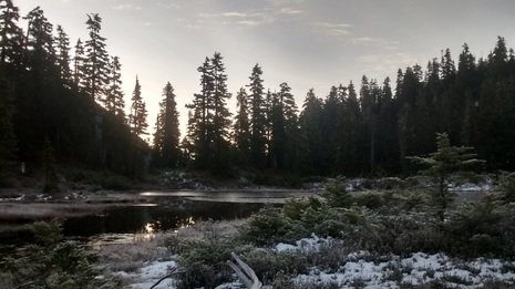
I woke up the next morning just before my alarm as it became bright outside. Both of us groaned at the thought of getting out of our warm cocoons in the tent. We emerged to see the ground blanketed in frost and lake covered in a thin layer of ice. We had to break small holes in the ice to get water for breakfast and for tooth brushing. I made a warm breakfast and we created mochas from instant coffee and hot chocolate.
 We packed up our frosty belongings and hit the trail back to the truck just before 0900. We arrived at the truck at around 1000 and noticed that there were no longer any machines working around where we parked. As we headed down the mountain we ran into a giant bucket truck carrying a huge piece of timber slowly down the road. After following this machine for a few minutes we noticed that the road we used to get up the mountain had been completely dug up…. Uh oh… Once the machines noticed us we saw them start to fill the road franticly. When I got out to chat one of the operators told me that they would move and I could get by. The section that they had dug up was a bit sketchy to get over, but I was thankful we weren't trapped. The second machine operator informed me that if we came by 15 minutes later we would have been trapped for 2+ hours….. Thank goodness for timing!! They filled the road just so we could get over before they put in a culvert. | 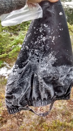 |
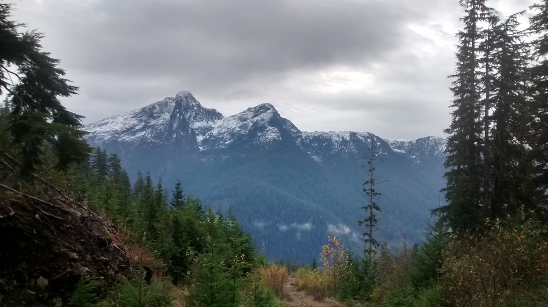
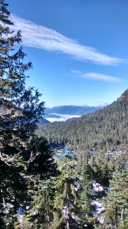
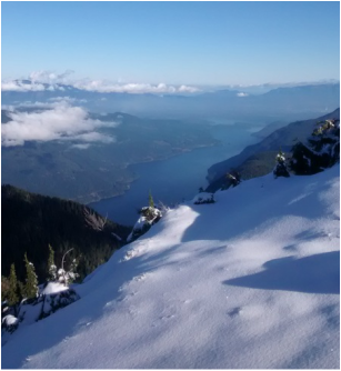
View from the top of N600
All in all this was a great hike. No summit, but I am getting better at accepting failure. It is worth it to keep safe and make it home in one piece! I will go back and do this again when the weather is nice and I can see where I am putting my feet. I would recommend this hike to anyone. Not overly challenging until the summit block, which would be fine in summer or early fall, and very rewarding views. Round trip distance is about 12kms with 1200m of elevation gain. Took about 3.5 hours up hauling a pack part of the way and 3 down. If you want the GPS track, it is attached as a file below :)
| brooke_george_trail__klitsa.gpx |
 RSS Feed
